Small airport · Chile

Mocopulli AirportSCPQ
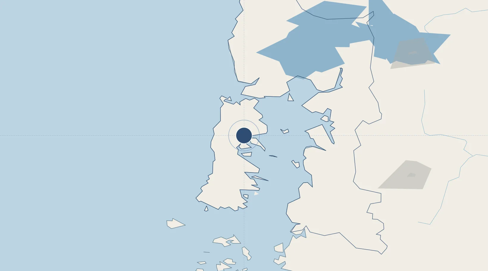
-42.3404°, -73.7157°
6,562 ft
Longest runway
1
Runways
528 ft
Elevation

Runway & Layout

Mocopulli Airport runway & taxiway layout
Runway & taxiway layout — OpenStreetMap (ODbL) / OurAirports

Radio Frequencies

TWR
118.4 MHz
OurAirports

Runways · 1

RunwayDimensions SurfaceTrue headingLit
17/35 6,562 × 148ft ASPH 167°
OurAirports

Airport Specifications

IATA code
MHC
OurAirports
ICAO code
SCPQ
OurAirports
Airport class
Small airport
OurAirports
Scheduled service
Yes
OurAirports
Runway surface
ASPH
OurAirports
Served city
Dalcahue
OurAirports

Location

Location of SCPQ
Natural Earth 10m (public domain) · Los Lagos · SCPQ · -42.34, -73.72GoogleOSMYandex

Nearby Logistics Neighbours

Airports
  1. 1Nuevo Chaitén Airport87 km
  2. 2El Tepual International Airport112 km
  3. 3El Bolsón Airfield185 km
  4. 4Cañal Bajo Carlos Hott Siebert Airport200 km
  5. 5Esquel Brigadier Antonio Parodi International Airport220 km
Nearest neighbours — logibook spatial index (haversine) over the source coordinates
Cities
  1. 1Dalcahue6 km
  2. 2Castro15 km
  3. 3Curaco de Vélez16 km
  4. 4Achao20 km
  5. 5Rauco22 km
Nearest neighbours — logibook spatial index (haversine) over the source coordinates
Ports
  1. 1Puerto Castro16 km
  2. 2Puerto Quemchi29 km
  3. 3Puerto Montt114 km
  4. 4Puerto De Corral276 km
  5. 5Bahia De Valdivia285 km
Nearest neighbours — logibook spatial index (haversine) over the source coordinates
Trade Zones
  1. 1Zona Franca Zapala (Zapala Free Trade Zone)491 km
  2. 2Comodoro Free Trade Zone629 km
  3. 3Comodoro Free Trade Zone Zona Franca Chubut632 km
  4. 4La Zona Franca Santa Cruz (ZFSC) - Caleta Olivia673 km
  5. 5Zona Franca Bahía Blanca1047 km
Nearest neighbours — logibook spatial index (haversine) over the source coordinates
DatabookThe Record of Consolidated Knowledge
Chile beyond logistics?
Browse databook

All Sources

AirportsOurAirports
Public domain
Portsthe NGA World Port Index
Public domain (US gov)
LocationsUN/LOCODE
UN/LOCODE — free
Trade Zonesthe World Bank SEZ database
CC BY 4.0
Trade ZonesOpen Zone Map
CC BY
InfrastructureOpenStreetMap
ODbL 1.0
← Chile airports