Transport Functions
Rail
Road
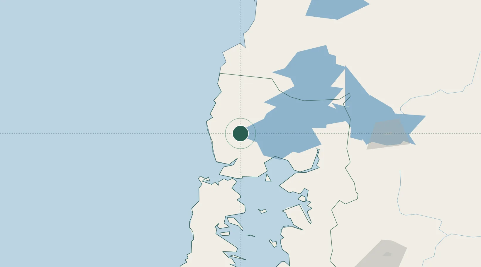
Hub Profile
Place type
Populated place
Region
Los Lagos Region
Population
11,366
Time zone
America/Santiago
Elevation
152 m
Location
Nearby Logistics Neighbours
Cities
- 1Los Muermos28 km
- 2Purranque35 km
- 3Llanquihue39 km
- 4Puerto Varas43 km
- 5Río Negro45 km
Ports
- 1Puerto Montt55 km
- 2Puerto Quemchi111 km
- 3Puerto De Corral143 km
- 4Puerto Castro151 km
- 5Bahia De Valdivia151 km
Airports
- 1El Tepual International Airport44 km
- 2Cañal Bajo Carlos Hott Siebert Airport68 km
- 3Mocopulli Airport134 km
- 4Las Marías Airport152 km
- 5Pichoy Airport170 km
DatabookThe Record of Consolidated Knowledge
Chile beyond logistics?