Transport Functions
Port
Road
Hub Profile
Place type
Populated place
Region
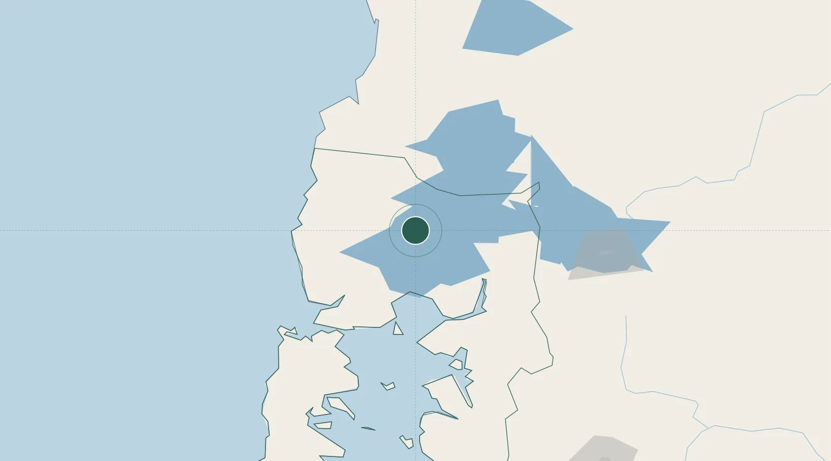
Los Lagos Region
Time zone
America/Santiago
Elevation
68 m
Location
Nearby Logistics Neighbours
Cities
- 1Purranque23 km
- 2Llanquihue33 km
- 3Río Negro35 km
- 4Puerto Varas40 km
- 5Puyehue41 km
Ports
- 1Puerto Montt58 km
- 2Puerto De Corral130 km
- 3Bahia De Valdivia133 km
- 4Puerto Quemchi140 km
- 5Puerto Castro183 km
Airports
Trade Zones
DatabookThe Record of Consolidated Knowledge
Chile beyond logistics?