Transport Functions
Port
Rail
Road
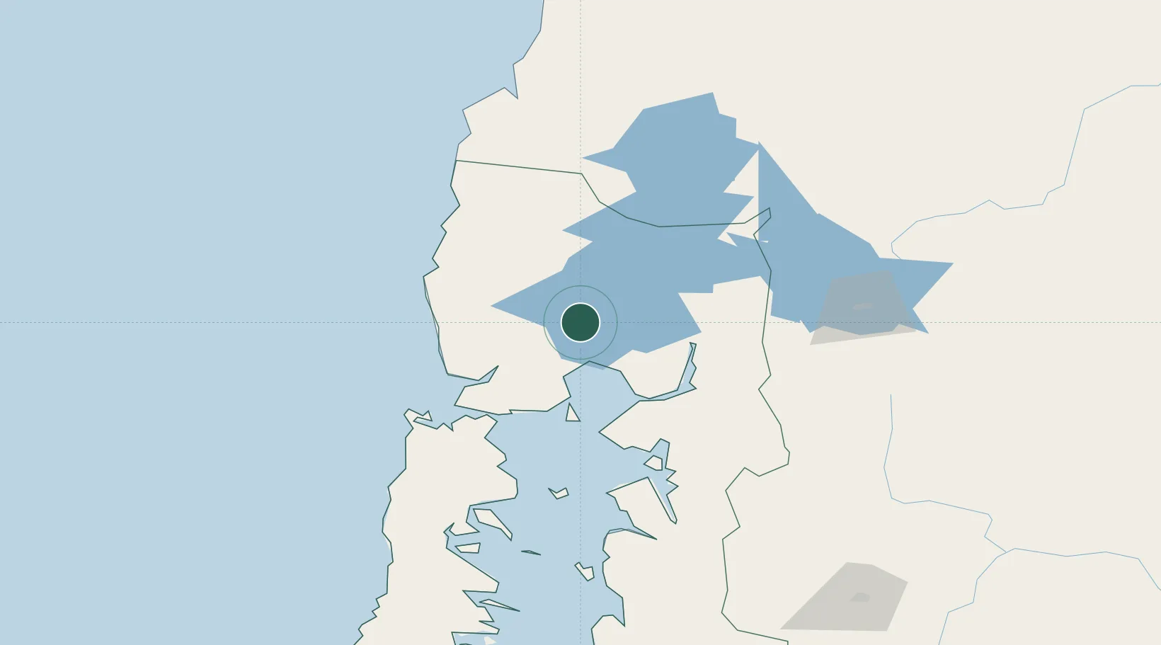
Hub Profile
Place type
Populated place
Region
Los Lagos Region
Population
16,249
Time zone
America/Santiago
Elevation
54 m
Location
Nearby Logistics Neighbours
Cities
- 1Puerto Varas8 km
- 2Puerto Montt26 km
- 3Puerto Octay33 km
- 4Fresia39 km
- 5Purranque40 km
Ports
- 1Puerto Montt26 km
- 2Puerto Quemchi108 km
- 3Puerto Castro151 km
- 4Puerto De Corral158 km
- 5Bahia De Valdivia163 km
Airports
Trade Zones
DatabookThe Record of Consolidated Knowledge
Chile beyond logistics?