Transport Functions
Rail
Road
Hub Profile
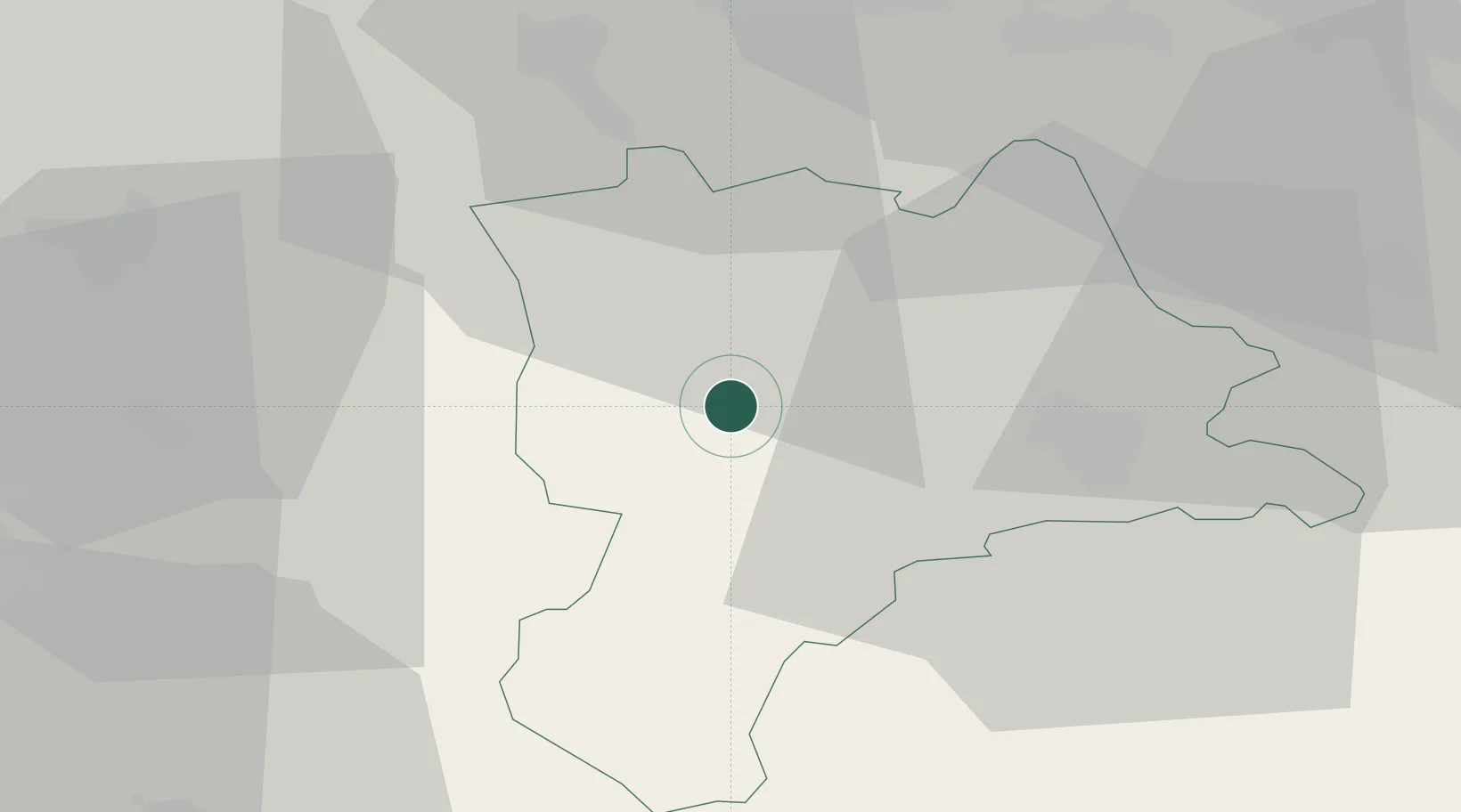
Place type
Populated place
Region
Lucerne
Population
2,628
Time zone
Europe/Zurich
Elevation
597 m
Location
Nearby Logistics Neighbours
Ports
- 1Genova306 km
- 2Savona310 km
- 3Rada Di Vado315 km
- 4Chiavari - Lavagna325 km
- 5Imperia356 km
Airports
- 1Emmen Air Base21 km
- 2Alpnach Air Base25 km
- 3Bern Airport45 km
- 4Grenchen Airfield48 km
- 5Zürich Airport57 km
Trade Zones
- 1ZFU Mulhouse91 km
- 2ZFU Montbéliard105 km
- 3ZFU Belfort112 km
- 4PESA - Port-Franc et Entrepôts de Lausanne-Chavornay SA119 km
- 5Port Franc Vevey131 km
DatabookThe Record of Consolidated Knowledge
Switzerland beyond logistics?