Transport Functions
Road
Multimodal
Hub Profile
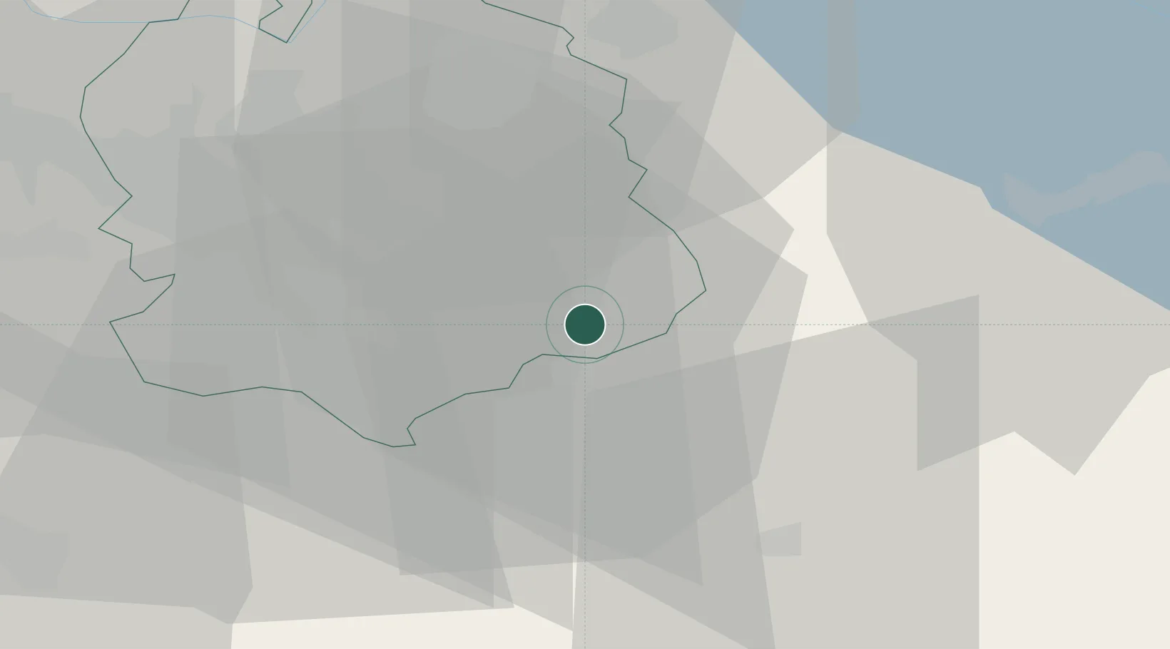
Place type
Populated place
Region
Zurich
Population
1,321
Time zone
Europe/Zurich
Elevation
591 m
Location
Nearby Logistics Neighbours
Cities
- 1Wolfhausen3 km
- 2Jona6 km
- 3Wetzikon6 km
- 4Feldbach8 km
- 5Seegraeben8 km
Ports
- 1Genova321 km
- 2Savona331 km
- 3Chiavari - Lavagna333 km
- 4Rada Di Vado337 km
- 5Porto Di Lido-Venezia345 km
Airports
- 1Dübendorf Air Base20 km
- 2Zürich Airport30 km
- 3Emmen Air Base46 km
- 4Alpnach Air Base57 km
- 5Sankt Gallen Altenrhein Airport58 km
Trade Zones
- 1ZFU Mulhouse125 km
- 2Livigno Free Trade Zone126 km
- 3ZFU Montbéliard157 km
- 4ZFU Belfort159 km
- 5Magazzini Generali Con Chiasso160 km
DatabookThe Record of Consolidated Knowledge
Switzerland beyond logistics?