Transport Functions
Rail
Road
Hub Profile
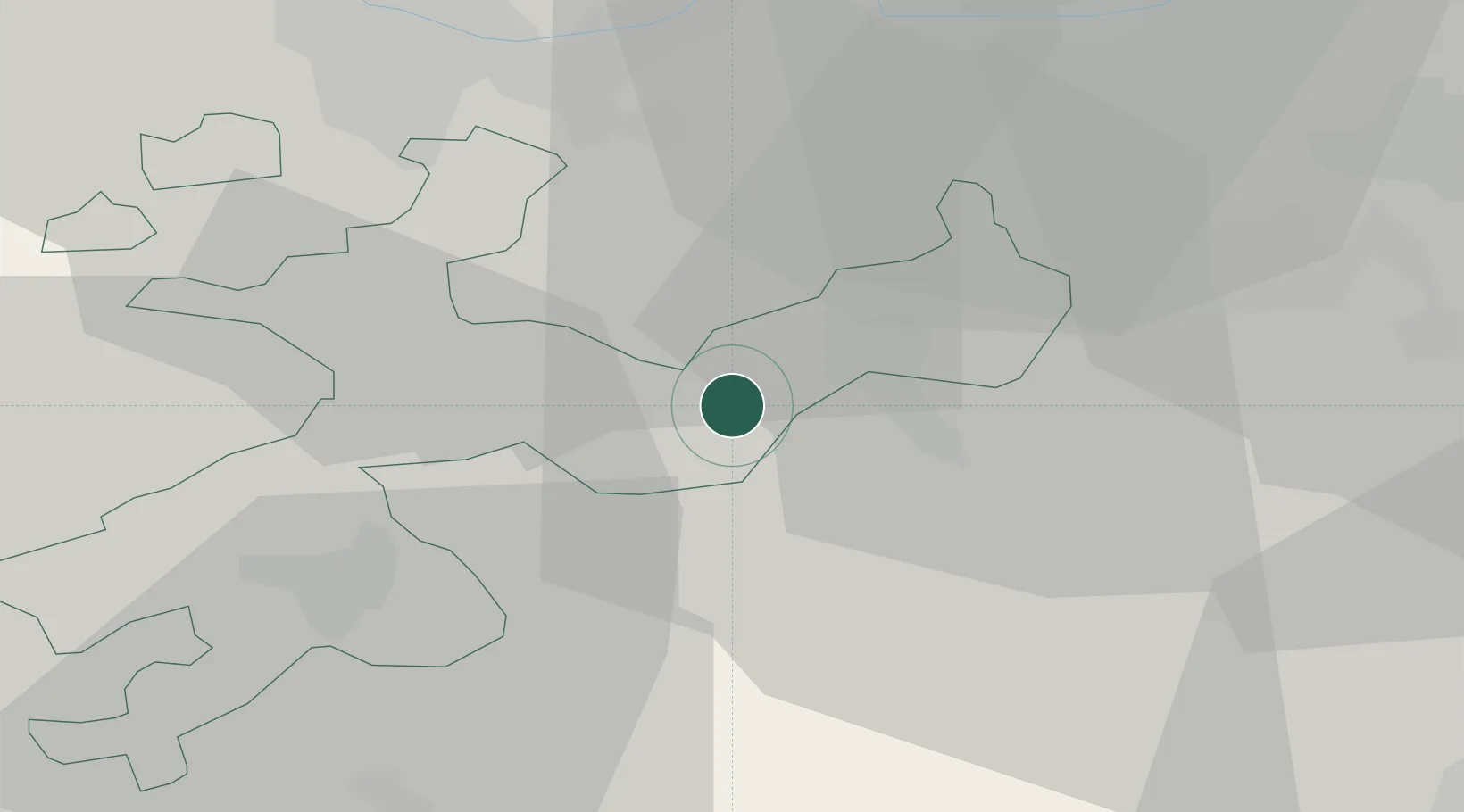
Place type
Populated place
Region
Solothurn
Population
1,604
Time zone
Europe/Zurich
Elevation
437 m
Location
Nearby Logistics Neighbours
Cities
- 1Hägendorf2 km
- 2Niederbuchsiten5 km
- 3Trimbach7 km
- 4Kestenholz8 km
- 5Wynau8 km
Ports
- 1Genova336 km
- 2Savona338 km
- 3Rada Di Vado343 km
- 4Chiavari - Lavagna355 km
- 5Imperia382 km
Airports
- 1Grenchen Airfield34 km
- 2EuroAirport Basel–Mulhouse–Freiburg39 km
- 3Emmen Air Base45 km
- 4Bern Airport51 km
- 5Alpnach Air Base55 km
Trade Zones
- 1ZFU Mulhouse60 km
- 2ZFU Montbéliard80 km
- 3ZFU Belfort84 km
- 4PESA - Port-Franc et Entrepôts de Lausanne-Chavornay SA117 km
- 5Port Franc Vevey134 km
DatabookThe Record of Consolidated Knowledge
Switzerland beyond logistics?