Transport Functions
Rail
Road
Hub Profile
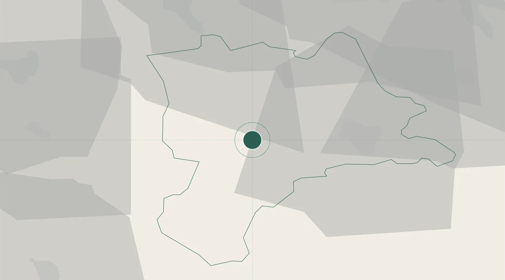
Place type
Populated place
Region
Lucerne
Population
4,050
Time zone
Europe/Zurich
Elevation
586 m
Location
Nearby Logistics Neighbours
Cities
- 1Menznau5 km
- 2Schachen5 km
- 3Entlebuch8 km
- 4Malters9 km
- 5Sempach Station10 km
Ports
- 1Genova302 km
- 2Savona306 km
- 3Rada Di Vado311 km
- 4Chiavari - Lavagna321 km
- 5Imperia352 km
Airports
- 1Emmen Air Base19 km
- 2Alpnach Air Base20 km
- 3Bern Airport46 km
- 4Grenchen Airfield51 km
- 5Zürich Airport58 km
Trade Zones
- 1ZFU Mulhouse95 km
- 2ZFU Montbéliard109 km
- 3ZFU Belfort116 km
- 4PESA - Port-Franc et Entrepôts de Lausanne-Chavornay SA120 km
- 5Port Franc Vevey132 km
DatabookThe Record of Consolidated Knowledge
Switzerland beyond logistics?