Transport Functions
Rail
Road
Hub Profile
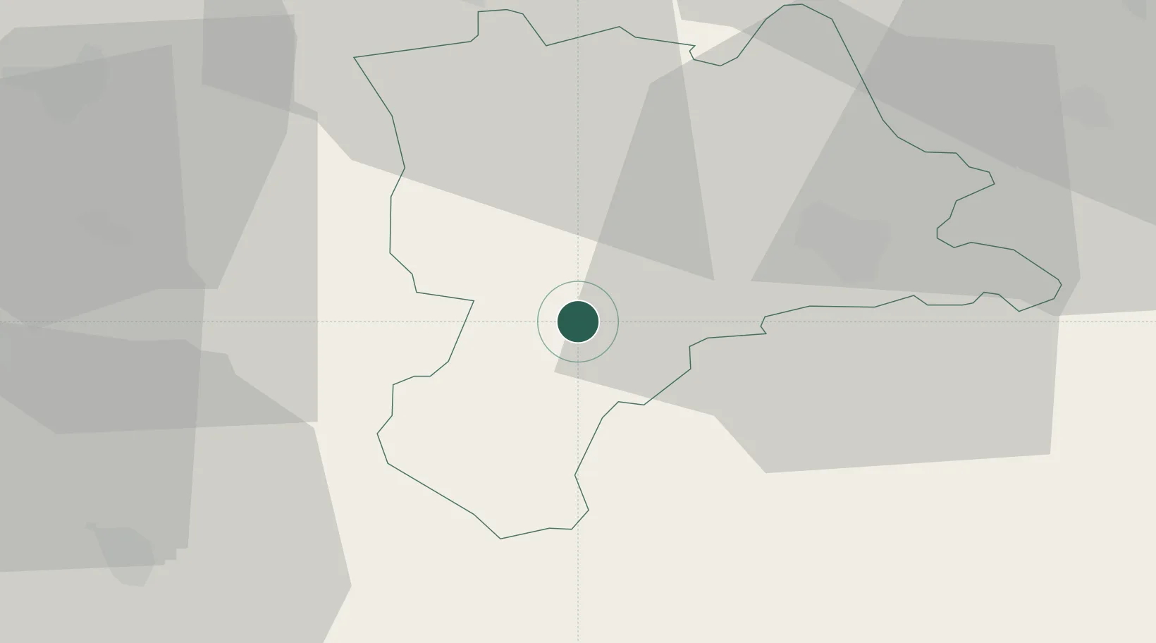
Place type
Populated place
Region
Lucerne
Population
3,293
Time zone
Europe/Zurich
Elevation
682 m
Location
Nearby Logistics Neighbours
Cities
- 1Schüpfheim5 km
- 2Wolhusen8 km
- 3Schachen8 km
- 4Menznau11 km
- 5Malters12 km
Ports
- 1Genova295 km
- 2Savona299 km
- 3Rada Di Vado304 km
- 4Chiavari - Lavagna314 km
- 5Imperia345 km
Airports
- 1Alpnach Air Base18 km
- 2Emmen Air Base23 km
- 3Bern Airport43 km
- 4Grenchen Airfield53 km
- 5Dübendorf Air Base65 km
Trade Zones
- 1ZFU Mulhouse101 km
- 2ZFU Montbéliard112 km
- 3PESA - Port-Franc et Entrepôts de Lausanne-Chavornay SA117 km
- 4ZFU Belfort119 km
- 5Port Franc Vevey127 km
DatabookThe Record of Consolidated Knowledge
Switzerland beyond logistics?