Transport Functions
Port
Rail
Road
Multimodal
Hub Profile
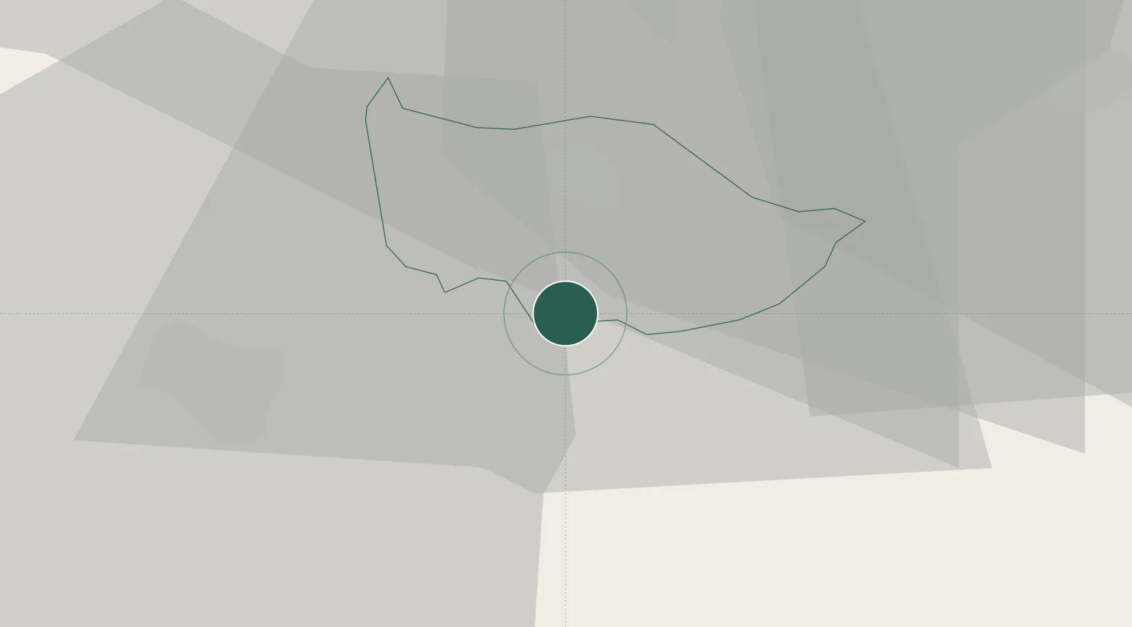
Place type
Populated place
Region
Zug
Population
3,268
Time zone
Europe/Zurich
Elevation
479 m
Location
Nearby Logistics Neighbours
Cities
- 1Arth4 km
- 2Immensee4 km
- 3Unterägeri5 km
- 4Goldau6 km
- 5Rotkreuz7 km
Ports
- 1Genova302 km
- 2Savona310 km
- 3Rada Di Vado315 km
- 4Chiavari - Lavagna317 km
- 5La Spezia349 km
Airports
- 1Emmen Air Base16 km
- 2Alpnach Air Base25 km
- 3Dübendorf Air Base35 km
- 4Zürich Airport40 km
- 5Bern Airport80 km
Trade Zones
- 1ZFU Mulhouse114 km
- 2Livigno Free Trade Zone136 km
- 3ZFU Montbéliard138 km
- 4ZFU Belfort142 km
- 5Magazzini Generali Con Chiasso143 km
DatabookThe Record of Consolidated Knowledge
Switzerland beyond logistics?