Transport Functions
Rail
Road
Multimodal
Hub Profile
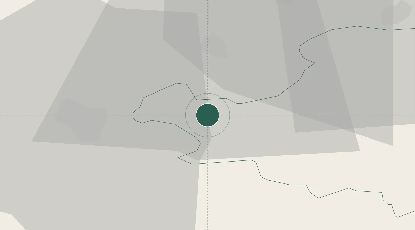
Place type
District seat
Region
Schwyz
Population
9,850
Time zone
Europe/Zurich
Elevation
425 m
Location
Nearby Logistics Neighbours
Cities
- 1Goldau3 km
- 2Walchwil4 km
- 3Immensee5 km
- 4Vitznau6 km
- 5Küssnacht am Rigi6 km
Ports
- 1Genova298 km
- 2Savona306 km
- 3Rada Di Vado312 km
- 4Chiavari - Lavagna313 km
- 5La Spezia345 km
Airports
- 1Emmen Air Base16 km
- 2Alpnach Air Base22 km
- 3Dübendorf Air Base38 km
- 4Zürich Airport44 km
- 5Bern Airport79 km
Trade Zones
- 1ZFU Mulhouse117 km
- 2Livigno Free Trade Zone134 km
- 3ZFU Montbéliard139 km
- 4Magazzini Generali Con Chiasso140 km
- 5ZFU Belfort144 km
DatabookThe Record of Consolidated Knowledge
Switzerland beyond logistics?