Transport Functions
Multimodal
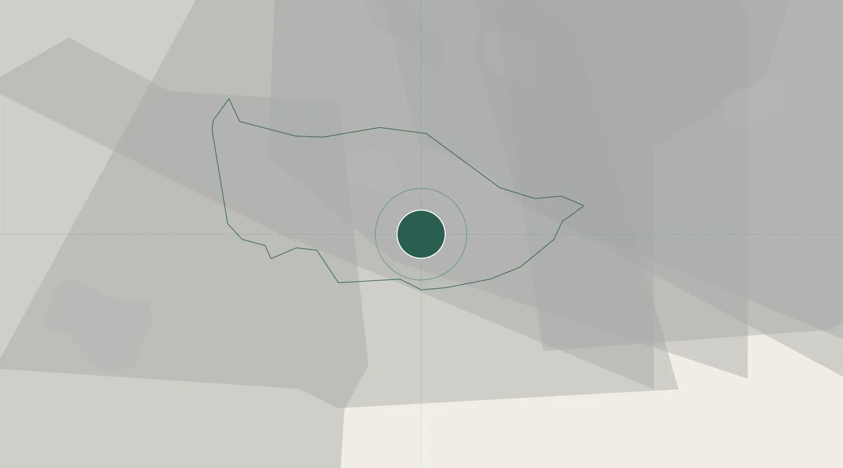
Hub Profile
Place type
Populated place
Region
Zug
Population
7,973
Time zone
Europe/Zurich
Elevation
727 m
Location
Nearby Logistics Neighbours
Cities
- 1Walchwil5 km
- 2Edlibach6 km
- 3Menzingen6 km
- 4Sihlbrugg6 km
- 5Sihlbrugg Dorf7 km
Ports
- 1Genova305 km
- 2Savona313 km
- 3Rada Di Vado319 km
- 4Chiavari - Lavagna320 km
- 5La Spezia351 km
Airports
- 1Emmen Air Base20 km
- 2Alpnach Air Base30 km
- 3Dübendorf Air Base30 km
- 4Zürich Airport36 km
- 5Sankt Gallen Altenrhein Airport85 km
Trade Zones
- 1ZFU Mulhouse115 km
- 2Livigno Free Trade Zone134 km
- 3ZFU Montbéliard140 km
- 4ZFU Belfort144 km
- 5Magazzini Generali Con Chiasso146 km
DatabookThe Record of Consolidated Knowledge
Switzerland beyond logistics?