Transport Functions
Port
Rail
Road
Hub Profile
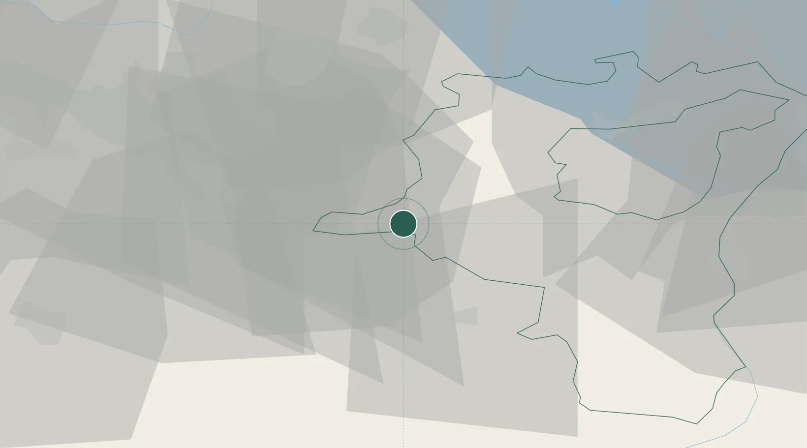
Place type
District seat
Region
Saint Gallen
Population
3,307
Time zone
Europe/Zurich
Elevation
407 m
Location
Nearby Logistics Neighbours
Cities
- 1Schmerikon2 km
- 2Uznach3 km
- 3Tuggen4 km
- 4Goldingen5 km
- 5Gommiswald7 km
Ports
- 1Genova315 km
- 2Savona326 km
- 3Chiavari - Lavagna327 km
- 4Rada Di Vado332 km
- 5Porto Di Lido-Venezia336 km
Airports
- 1Dübendorf Air Base28 km
- 2Zürich Airport38 km
- 3Emmen Air Base50 km
- 4Sankt Gallen Altenrhein Airport55 km
- 5Alpnach Air Base59 km
Trade Zones
- 1Livigno Free Trade Zone118 km
- 2ZFU Mulhouse133 km
- 3Magazzini Generali Con Chiasso154 km
- 4ZFU Montbéliard165 km
- 5ZFU Belfort166 km
DatabookThe Record of Consolidated Knowledge
Switzerland beyond logistics?