Transport Functions
Rail
Road
Hub Profile
Place type
Provincial seat
Region
Bern
Population
43,723
Time zone
Europe/Zurich
Elevation
560 m
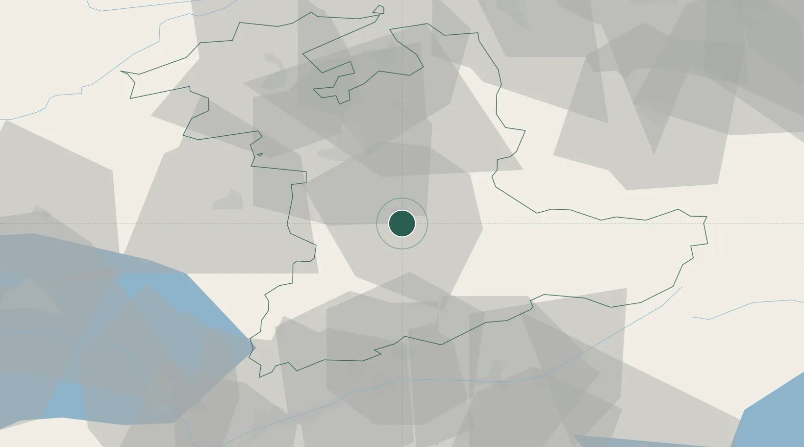
Location
Nearby Logistics Neighbours
Cities
- 1Steffisburg4 km
- 2Heimberg4 km
- 3Einigen4 km
- 4Uetendorf4 km
- 5Spiez9 km
Ports
- 1Savona279 km
- 2Genova281 km
- 3Rada Di Vado284 km
- 4Chiavari - Lavagna303 km
- 5Imperia320 km
Airports
- 1Bern Airport20 km
- 2Grenchen Airfield50 km
- 3Payerne Air Base54 km
- 4Alpnach Air Base55 km
- 5Sion Airport63 km
Trade Zones
- 1PESA - Port-Franc et Entrepôts de Lausanne-Chavornay SA80 km
- 2Port Franc Vevey86 km
- 3ZFU Montbéliard105 km
- 4ZFU Mulhouse113 km
- 5ZFU Belfort117 km
DatabookThe Record of Consolidated Knowledge
Switzerland beyond logistics?