Transport Functions
Rail
Road
Hub Profile
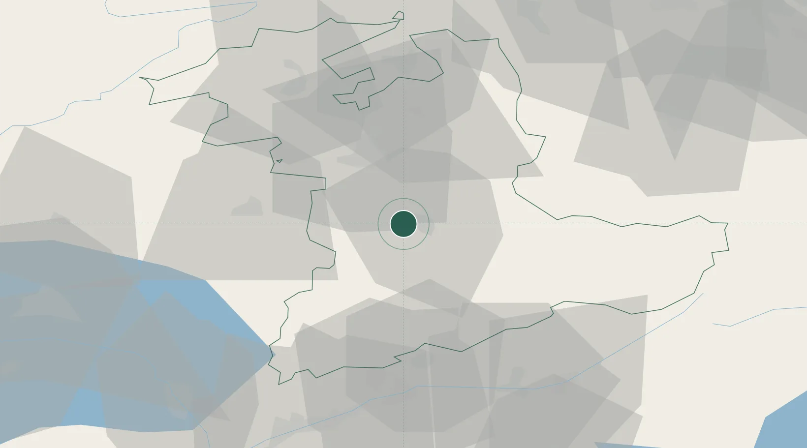
Place type
Populated place
Region
Bern
Population
5,654
Time zone
Europe/Zurich
Elevation
557 m
Location
Nearby Logistics Neighbours
Cities
- 1Heimberg3 km
- 2Thun4 km
- 3Steffisburg5 km
- 4Einigen8 km
- 5Oberdiessbach8 km
Ports
- 1Savona282 km
- 2Genova284 km
- 3Rada Di Vado287 km
- 4Chiavari - Lavagna306 km
- 5Imperia323 km
Airports
- 1Bern Airport17 km
- 2Grenchen Airfield48 km
- 3Payerne Air Base50 km
- 4Alpnach Air Base58 km
- 5Sion Airport64 km
Trade Zones
- 1PESA - Port-Franc et Entrepôts de Lausanne-Chavornay SA77 km
- 2Port Franc Vevey84 km
- 3ZFU Montbéliard101 km
- 4ZFU Mulhouse111 km
- 5ZFU Belfort113 km
DatabookThe Record of Consolidated Knowledge
Switzerland beyond logistics?