Transport Functions
Rail
Road
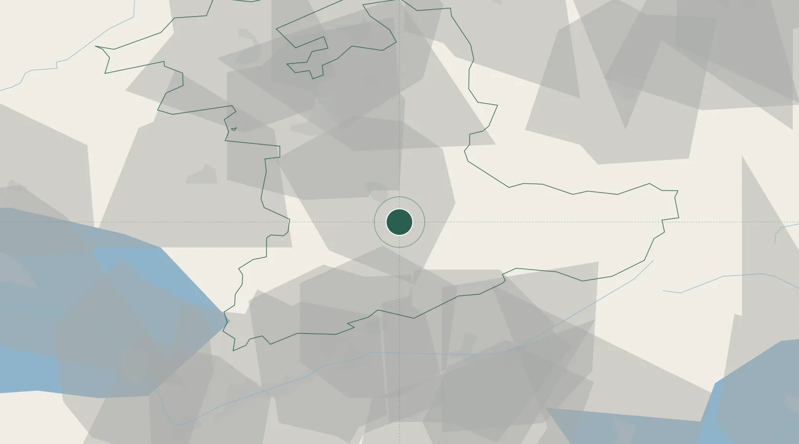
Hub Profile
Place type
Populated place
Region
Bern
Population
12,594
Time zone
Europe/Zurich
Elevation
595 m
Location
Nearby Logistics Neighbours
Cities
- 1Einigen5 km
- 2Reichenbach7 km
- 3Thun9 km
- 4Neuhaus10 km
- 5Steffisburg12 km
Ports
- 1Savona271 km
- 2Genova272 km
- 3Rada Di Vado276 km
- 4Chiavari - Lavagna294 km
- 5Imperia313 km
Airports
- 1Bern Airport29 km
- 2Alpnach Air Base54 km
- 3Sion Airport58 km
- 4Grenchen Airfield59 km
- 5Payerne Air Base61 km
Trade Zones
- 1PESA - Port-Franc et Entrepôts de Lausanne-Chavornay SA86 km
- 2Port Franc Vevey89 km
- 3ZFU Montbéliard114 km
- 4ZFU Mulhouse121 km
- 5ZFU Belfort126 km
DatabookThe Record of Consolidated Knowledge
Switzerland beyond logistics?