UN/LOCODE hub · Switzerland
CHSBG
Steffisburg
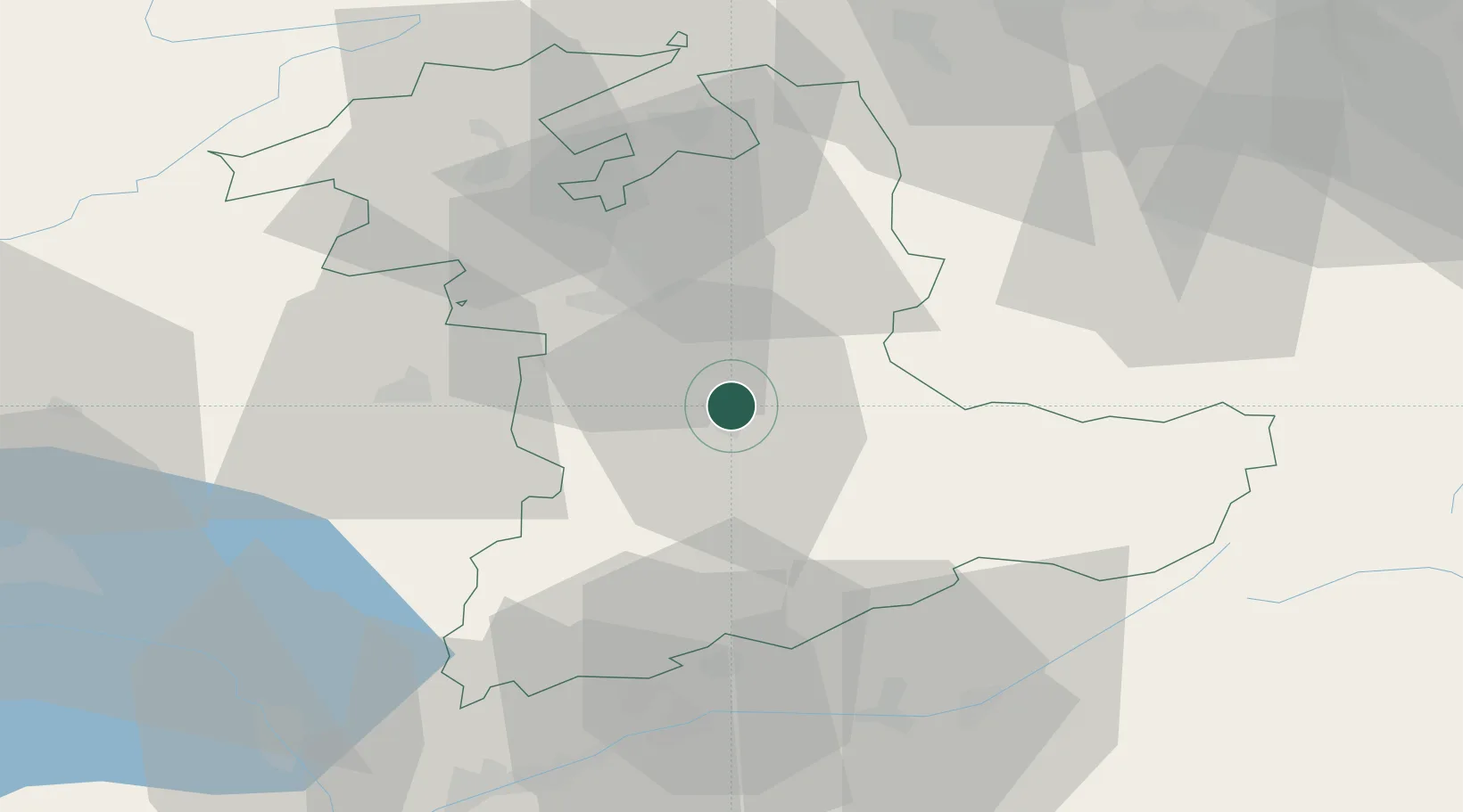
46.7833°, 7.6333°
15,709
Population
2
Transport functions
Transport Functions
Rail
Road
Hub Profile
Place type
Populated place
Region
Bern
Population
15,709
Time zone
Europe/Zurich
Elevation
584 m
Location
Nearby Logistics Neighbours
Cities
- 1Heimberg3 km
- 2Thun4 km
- 3Uetendorf5 km
- 4Oberdiessbach6 km
- 5Einigen7 km
Ports
- 1Savona283 km
- 2Genova284 km
- 3Rada Di Vado287 km
- 4Chiavari - Lavagna306 km
- 5Imperia324 km
Airports
- 1Bern Airport18 km
- 2Grenchen Airfield47 km
- 3Alpnach Air Base53 km
- 4Payerne Air Base55 km
- 5Emmen Air Base62 km
Trade Zones
- 1PESA - Port-Franc et Entrepôts de Lausanne-Chavornay SA82 km
- 2Port Franc Vevey89 km
- 3ZFU Montbéliard103 km
- 4ZFU Mulhouse110 km
- 5ZFU Belfort114 km
DatabookThe Record of Consolidated Knowledge
Switzerland beyond logistics?