Transport Functions
Road
Multimodal
Hub Profile
Place type
Populated place
Region
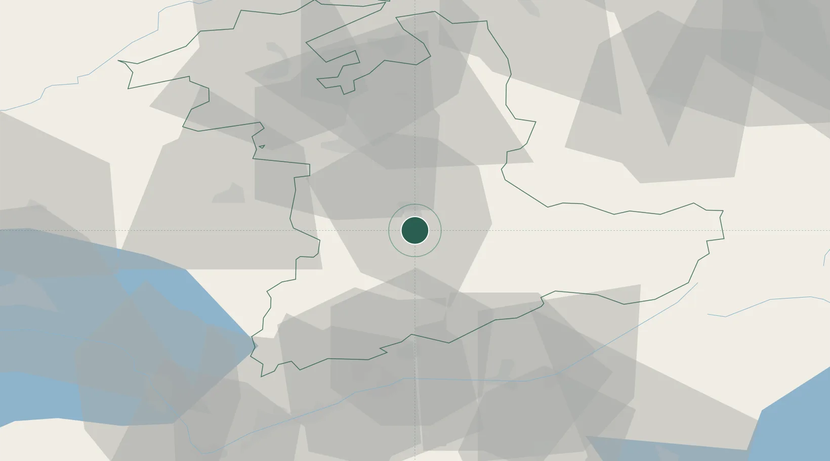
Bern
Time zone
Europe/Zurich
Elevation
567 m
Location
Nearby Logistics Neighbours
Cities
- 1Thun4 km
- 2Spiez5 km
- 3Steffisburg7 km
- 4Uetendorf8 km
- 5Heimberg8 km
Ports
- 1Savona275 km
- 2Genova277 km
- 3Rada Di Vado280 km
- 4Chiavari - Lavagna299 km
- 5Imperia317 km
Airports
- 1Bern Airport24 km
- 2Grenchen Airfield54 km
- 3Alpnach Air Base56 km
- 4Payerne Air Base57 km
- 5Sion Airport60 km
Trade Zones
- 1PESA - Port-Franc et Entrepôts de Lausanne-Chavornay SA82 km
- 2Port Franc Vevey86 km
- 3ZFU Montbéliard109 km
- 4ZFU Mulhouse117 km
- 5ZFU Belfort121 km
DatabookThe Record of Consolidated Knowledge
Switzerland beyond logistics?