Transport Functions
Port
Rail
Road
Hub Profile
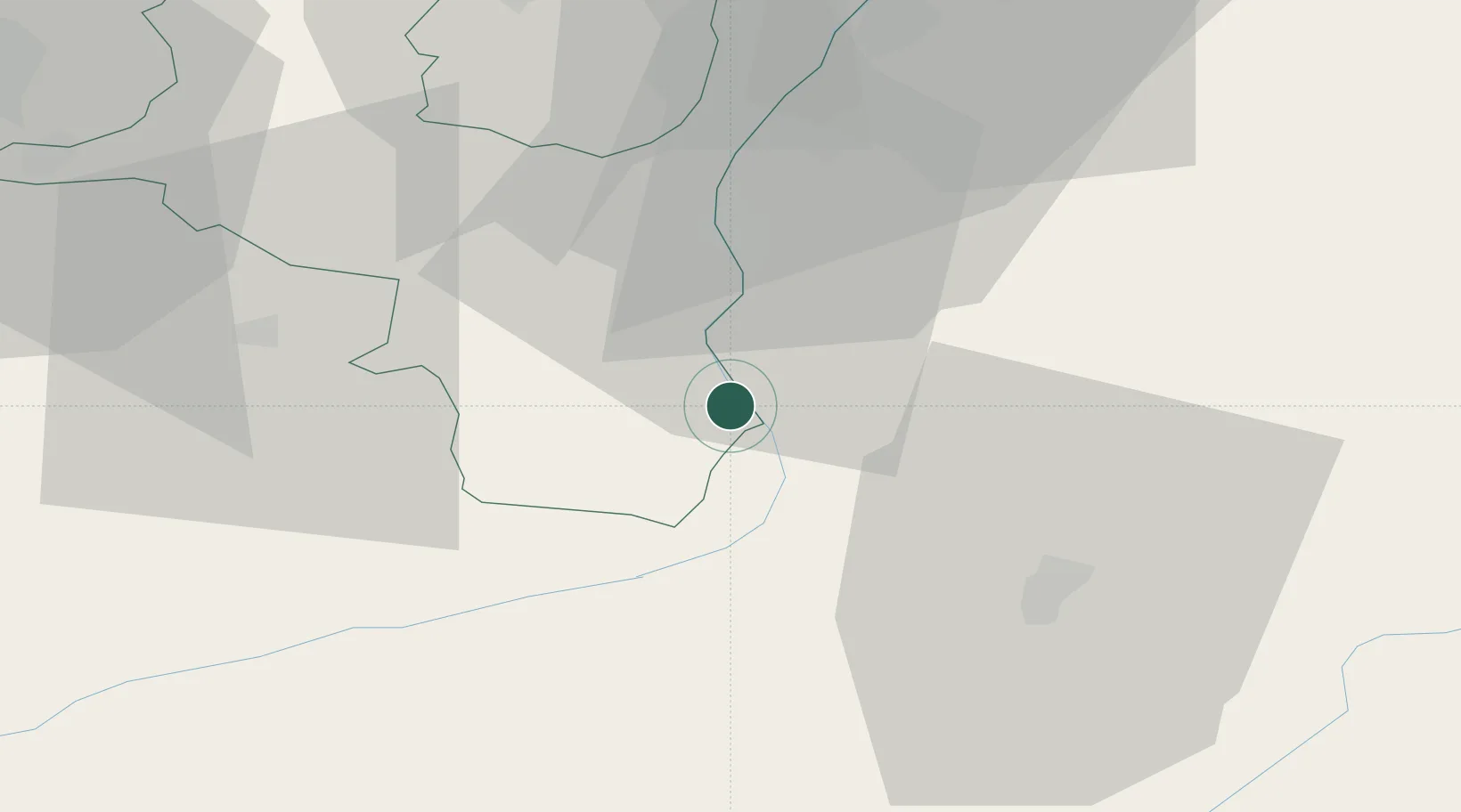
Place type
Populated place
Region
Saint Gallen
Population
5,063
Time zone
Europe/Zurich
Elevation
512 m
Location
Nearby Logistics Neighbours
Ports
- 1Porto Di Lido-Venezia286 km
- 2Porto Di Chioggia292 km
- 3Genova293 km
- 4Chiavari - Lavagna300 km
- 5Savona308 km
Airports
- 1Sankt Gallen Altenrhein Airport54 km
- 2Engadin Airport60 km
- 3Bodensee Airport Friedrichshafen75 km
- 4Dübendorf Air Base78 km
- 5Zürich Airport88 km
Trade Zones
- 1Livigno Free Trade Zone69 km
- 2Magazzini Generali Con Chiasso135 km
- 3ZFU Mulhouse183 km
- 4ZFU Montbéliard212 km
- 5ZFU Neuhof215 km
DatabookThe Record of Consolidated Knowledge
Switzerland beyond logistics?