Transport Functions
Port
Road
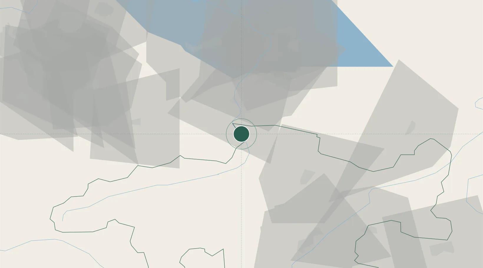
Hub Profile
Region
GR
Location
Nearby Logistics Neighbours
Ports
- 1Porto Di Lido-Venezia286 km
- 2Porto Di Chioggia292 km
- 3Genova295 km
- 4Chiavari - Lavagna302 km
- 5Savona310 km
Airports
- 1Sankt Gallen Altenrhein Airport52 km
- 2Engadin Airport61 km
- 3Bodensee Airport Friedrichshafen73 km
- 4Dübendorf Air Base78 km
- 5Zürich Airport88 km
Trade Zones
- 1Livigno Free Trade Zone70 km
- 2Magazzini Generali Con Chiasso137 km
- 3ZFU Mulhouse183 km
- 4ZFU Montbéliard213 km
- 5ZFU Neuhof214 km
DatabookThe Record of Consolidated Knowledge
Switzerland beyond logistics?