Transport Functions
Multimodal
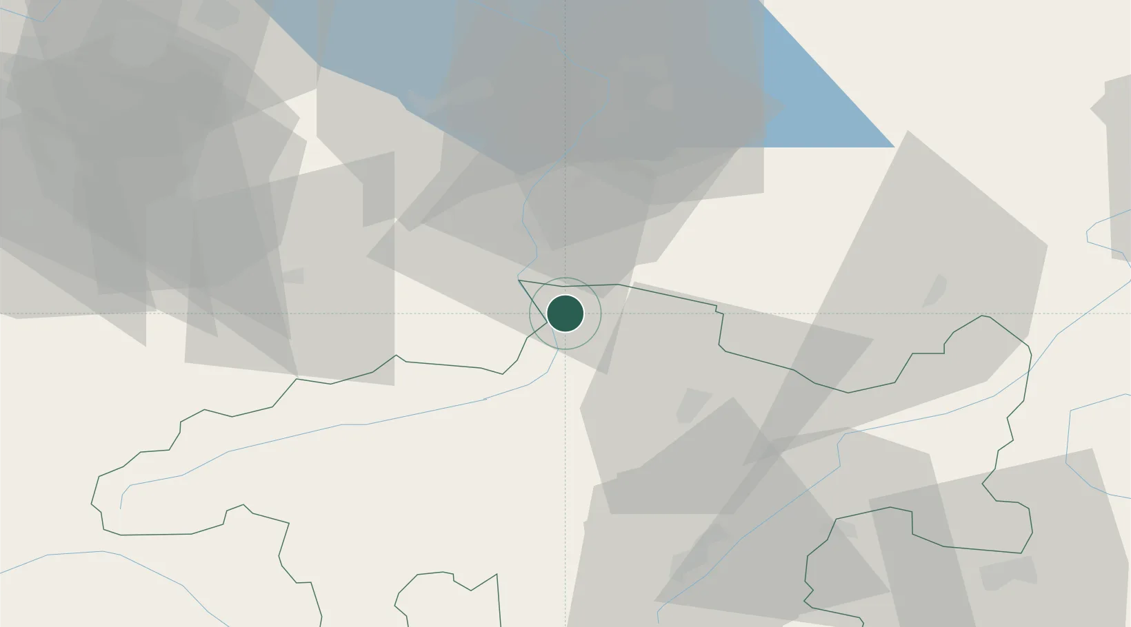
Hub Profile
Place type
Populated place
Region
Grisons
Population
745
Time zone
Europe/Zurich
Elevation
645 m
Location
Nearby Logistics Neighbours
Ports
- 1Porto Di Lido-Venezia282 km
- 2Porto Di Chioggia288 km
- 3Genova294 km
- 4Chiavari - Lavagna300 km
- 5Nogaro309 km
Airports
- 1Sankt Gallen Altenrhein Airport54 km
- 2Engadin Airport57 km
- 3Bodensee Airport Friedrichshafen75 km
- 4Dübendorf Air Base82 km
- 5Zürich Airport92 km
Trade Zones
- 1Livigno Free Trade Zone66 km
- 2Magazzini Generali Con Chiasso137 km
- 3ZFU Mulhouse188 km
- 4ZFU Montbéliard217 km
- 5ZFU Neuhof218 km
DatabookThe Record of Consolidated Knowledge
Switzerland beyond logistics?