Transport Functions
Port
Rail
Road
Hub Profile
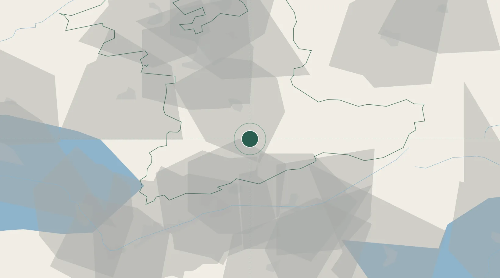
Place type
Populated place
Region
Bern
Time zone
Europe/Zurich
Elevation
712 m
Location
Nearby Logistics Neighbours
Cities
- 1Spiez7 km
- 2Einigen12 km
- 3Neuhaus13 km
- 4Kandersteg15 km
- 5Thun16 km
Ports
- 1Savona264 km
- 2Genova265 km
- 3Rada Di Vado268 km
- 4Chiavari - Lavagna287 km
- 5Imperia305 km
Airports
- 1Bern Airport36 km
- 2Sion Airport52 km
- 3Alpnach Air Base59 km
- 4Payerne Air Base64 km
- 5Grenchen Airfield66 km
Trade Zones
DatabookThe Record of Consolidated Knowledge
Switzerland beyond logistics?