Transport Functions
Multimodal
Hub Profile
Place type
Populated place
Region
Saint Gallen
Time zone
Europe/Zurich
Elevation
495 m
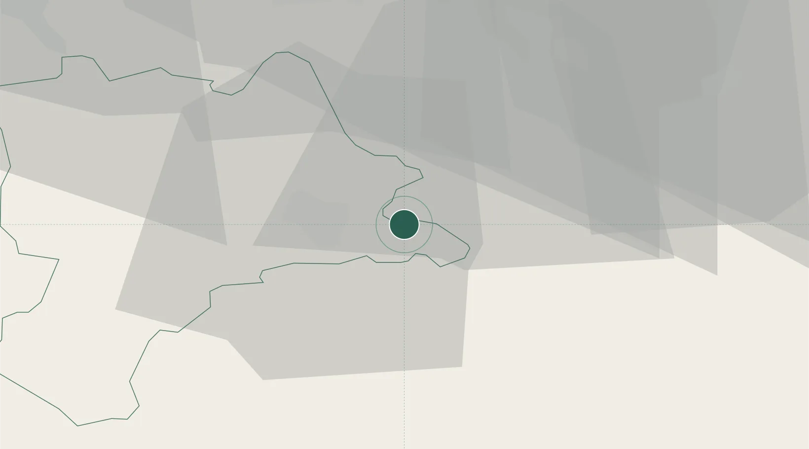
Location
Nearby Logistics Neighbours
Cities
- 1Küssnacht am Rigi2 km
- 2Root5 km
- 3Udligenswil6 km
- 4Vitznau6 km
- 5Immensee7 km
Ports
- 1Genova298 km
- 2Savona304 km
- 3Rada Di Vado310 km
- 4Chiavari - Lavagna313 km
- 5La Spezia346 km
Airports
- 1Emmen Air Base10 km
- 2Alpnach Air Base16 km
- 3Dübendorf Air Base43 km
- 4Zürich Airport46 km
- 5Bern Airport71 km
Trade Zones
- 1ZFU Mulhouse113 km
- 2ZFU Montbéliard133 km
- 3ZFU Belfort138 km
- 4Magazzini Generali Con Chiasso140 km
- 5Livigno Free Trade Zone140 km
DatabookThe Record of Consolidated Knowledge
Switzerland beyond logistics?