Transport Functions
Port
Road
Hub Profile
Place type
Populated place
Region
Ticino
Time zone
Europe/Zurich
Elevation
208 m
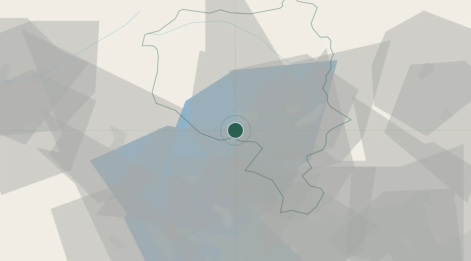
Location
Nearby Logistics Neighbours
Ports
- 1Genova194 km
- 2Savona203 km
- 3Chiavari - Lavagna209 km
- 4Rada Di Vado209 km
- 5La Spezia242 km
Airports
- 1Lugano Airport20 km
- 2Varese-Venegono Airport45 km
- 3Milan Malpensa International Airport56 km
- 4Cameri Air Base67 km
- 5Biella-Cerrione Airfield86 km
Trade Zones
- 1Magazzini Generali Con Chiasso36 km
- 2Livigno Free Trade Zone114 km
- 3Aosta Valley156 km
- 4Port Franc Vevey171 km
- 5PESA - Port-Franc et Entrepôts de Lausanne-Chavornay SA178 km
DatabookThe Record of Consolidated Knowledge
Switzerland beyond logistics?