Transport Functions
Multimodal
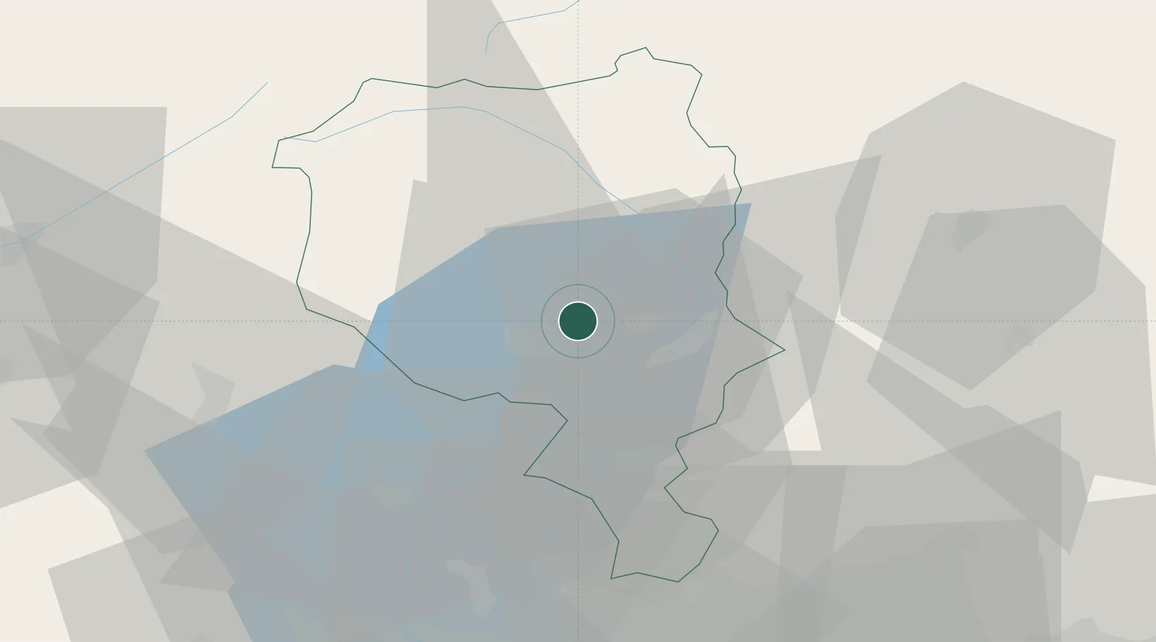
Hub Profile
Place type
Populated place
Region
Ticino
Time zone
Europe/Zurich
Elevation
499 m
Location
Nearby Logistics Neighbours
Cities
- 1Ascona10 km
- 2Sant'Antonino12 km
- 3Porto Ronco13 km
- 4Castione14 km
- 5Iragna14 km
Ports
- 1Genova202 km
- 2Savona213 km
- 3Chiavari - Lavagna216 km
- 4Rada Di Vado219 km
- 5La Spezia248 km
Airports
- 1Lugano Airport24 km
- 2Varese-Venegono Airport53 km
- 3Milan Malpensa International Airport66 km
- 4Cameri Air Base78 km
- 5Engadin Airport87 km
Trade Zones
- 1Magazzini Generali Con Chiasso42 km
- 2Livigno Free Trade Zone102 km
- 3Aosta Valley167 km
- 4Port Franc Vevey178 km
- 5PESA - Port-Franc et Entrepôts de Lausanne-Chavornay SA184 km
DatabookThe Record of Consolidated Knowledge
Switzerland beyond logistics?