Transport Functions
Multimodal
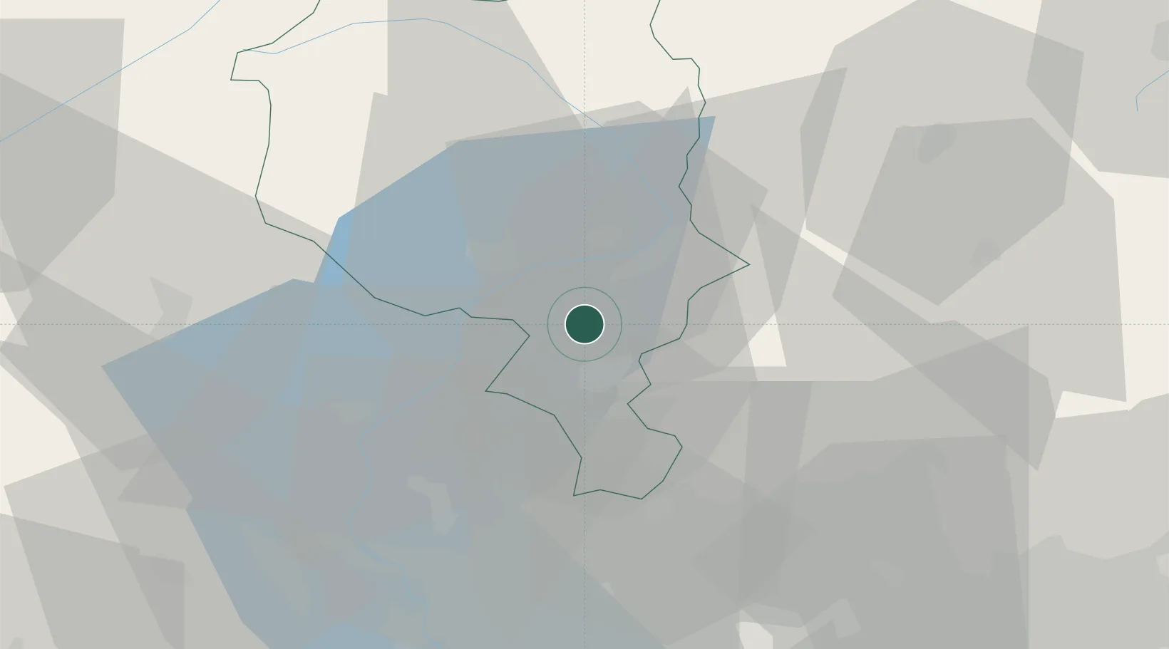
Hub Profile
Place type
Populated place
Region
Ticino
Population
440
Time zone
Europe/Zurich
Elevation
442 m
Location
Nearby Logistics Neighbours
Cities
- 1Bironico2 km
- 2Taverne2 km
- 3Bedano8 km
- 4Sant'Antonino8 km
- 5Bre-Aldesago9 km
Ports
- 1Genova187 km
- 2Savona199 km
- 3Chiavari - Lavagna200 km
- 4Rada Di Vado205 km
- 5La Spezia232 km
Airports
- 1Lugano Airport9 km
- 2Varese-Venegono Airport38 km
- 3Milan Malpensa International Airport52 km
- 4Cameri Air Base65 km
- 5Milano Linate Airport76 km
Trade Zones
- 1Magazzini Generali Con Chiasso27 km
- 2Livigno Free Trade Zone104 km
- 3Aosta Valley168 km
- 4Port Franc Vevey186 km
- 5PESA - Port-Franc et Entrepôts de Lausanne-Chavornay SA194 km
DatabookThe Record of Consolidated Knowledge
Switzerland beyond logistics?