Transport Functions
Road
Multimodal
Hub Profile
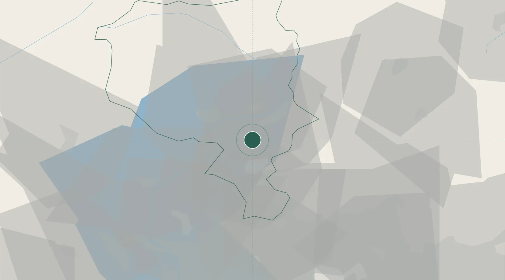
Place type
Populated place
Region
Ticino
Population
535
Time zone
Europe/Zurich
Elevation
452 m
Location
Nearby Logistics Neighbours
Cities
- 1Sigirino2 km
- 2Taverne4 km
- 3Sant'Antonino6 km
- 4Bedano10 km
- 5Bre-Aldesago10 km
Ports
- 1Genova189 km
- 2Savona201 km
- 3Chiavari - Lavagna202 km
- 4Rada Di Vado208 km
- 5La Spezia233 km
Airports
Trade Zones
- 1Magazzini Generali Con Chiasso28 km
- 2Livigno Free Trade Zone102 km
- 3Aosta Valley169 km
- 4Port Franc Vevey186 km
- 5PESA - Port-Franc et Entrepôts de Lausanne-Chavornay SA194 km
DatabookThe Record of Consolidated Knowledge
Switzerland beyond logistics?