Transport Functions
Road
Multimodal
Hub Profile
Place type
Populated place
Region
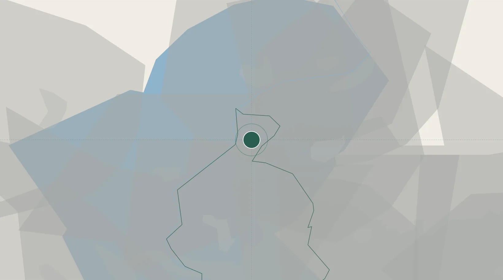
Ticino
Time zone
Europe/Zurich
Elevation
309 m
Location
Nearby Logistics Neighbours
Cities
- 1Agno9 km
- 2Bedano9 km
- 3Grantola9 km
- 4Ponte Tresa11 km
- 5Porto Ronco11 km
Ports
- 1Genova182 km
- 2Savona192 km
- 3Chiavari - Lavagna197 km
- 4Rada Di Vado198 km
- 5La Spezia231 km
Airports
- 1Lugano Airport12 km
- 2Varese-Venegono Airport34 km
- 3Milan Malpensa International Airport45 km
- 4Cameri Air Base57 km
- 5Milano Linate Airport77 km
Trade Zones
- 1Magazzini Generali Con Chiasso25 km
- 2Livigno Free Trade Zone116 km
- 3Aosta Valley155 km
- 4Port Franc Vevey176 km
- 5PESA - Port-Franc et Entrepôts de Lausanne-Chavornay SA185 km
DatabookThe Record of Consolidated Knowledge
Switzerland beyond logistics?