UN/LOCODE hub · Switzerland
CHOFE
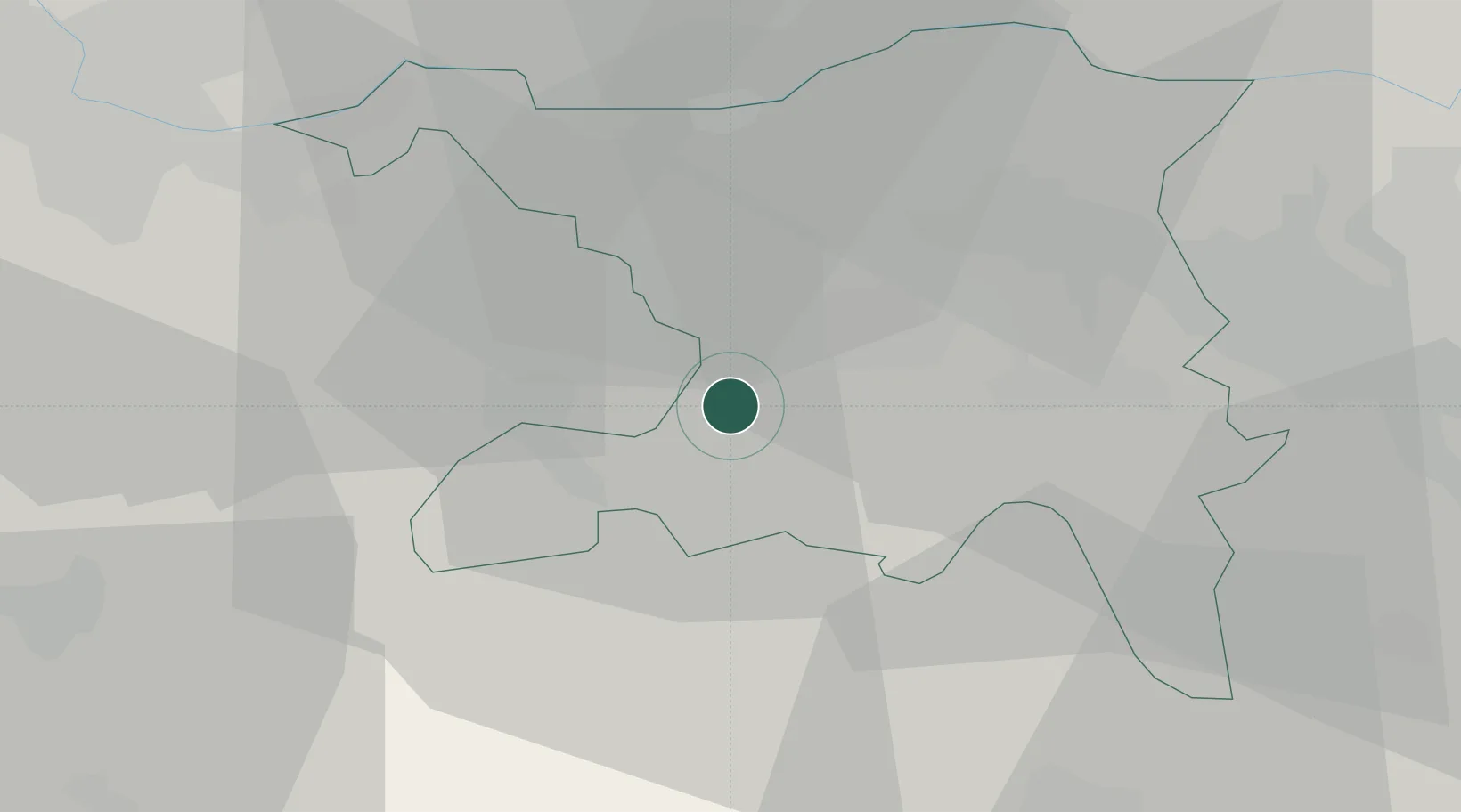
Oberentfelden
47.3500°, 8.0500°
7,553
Population
2
Transport functions
Transport Functions
Rail
Road
Hub Profile
Place type
Populated place
Region
Aargau
Population
7,553
Time zone
Europe/Zurich
Elevation
413 m
Location
Nearby Logistics Neighbours
Cities
- 1Muhen2 km
- 2Suhr3 km
- 3Gränichen4 km
- 4Gretzenbach4 km
- 5Schönenwerd4 km
Ports
- 1Genova335 km
- 2Savona339 km
- 3Rada Di Vado345 km
- 4Chiavari - Lavagna353 km
- 5Imperia386 km
Airports
- 1Emmen Air Base35 km
- 2Zürich Airport39 km
- 3Dübendorf Air Base45 km
- 4Alpnach Air Base49 km
- 5EuroAirport Basel–Mulhouse–Freiburg49 km
Trade Zones
- 1ZFU Mulhouse70 km
- 2ZFU Montbéliard97 km
- 3ZFU Belfort99 km
- 4PESA - Port-Franc et Entrepôts de Lausanne-Chavornay SA133 km
- 5ZFU Neuhof134 km
DatabookThe Record of Consolidated Knowledge
Switzerland beyond logistics?