Transport Functions
Rail
Road
Hub Profile
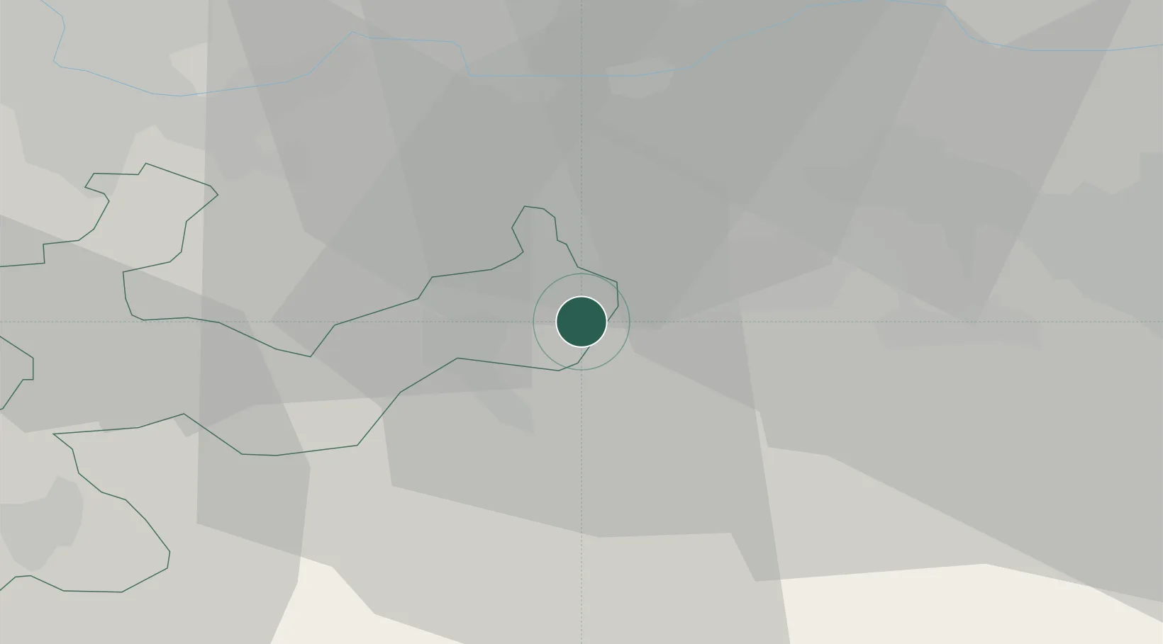
Place type
Populated place
Region
Solothurn
Population
4,732
Time zone
Europe/Zurich
Elevation
388 m
Location
Nearby Logistics Neighbours
Cities
- 1Gretzenbach0 km
- 2Niedergösgen3 km
- 3Stüsslingen3 km
- 4Däniken3 km
- 5Lostorf4 km
Ports
- 1Genova338 km
- 2Savona341 km
- 3Rada Di Vado347 km
- 4Chiavari - Lavagna356 km
- 5Imperia387 km
Airports
- 1Emmen Air Base38 km
- 2Zürich Airport43 km
- 3EuroAirport Basel–Mulhouse–Freiburg44 km
- 4Grenchen Airfield49 km
- 5Dübendorf Air Base49 km
Trade Zones
- 1ZFU Mulhouse66 km
- 2ZFU Montbéliard93 km
- 3ZFU Belfort95 km
- 4PESA - Port-Franc et Entrepôts de Lausanne-Chavornay SA131 km
- 5ZFU Neuhof132 km
DatabookThe Record of Consolidated Knowledge
Switzerland beyond logistics?