Transport Functions
Rail
Road
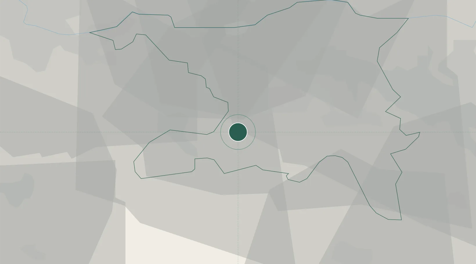
Hub Profile
Place type
Populated place
Region
Aargau
Population
3,419
Time zone
Europe/Zurich
Elevation
442 m
Location
Nearby Logistics Neighbours
Cities
- 1Oberentfelden2 km
- 2Gränichen4 km
- 3Suhr5 km
- 4Gretzenbach5 km
- 5Schönenwerd5 km
Ports
- 1Genova333 km
- 2Savona337 km
- 3Rada Di Vado343 km
- 4Chiavari - Lavagna351 km
- 5Imperia384 km
Airports
- 1Emmen Air Base33 km
- 2Zürich Airport40 km
- 3Dübendorf Air Base46 km
- 4Alpnach Air Base47 km
- 5EuroAirport Basel–Mulhouse–Freiburg50 km
Trade Zones
- 1ZFU Mulhouse71 km
- 2ZFU Montbéliard97 km
- 3ZFU Belfort100 km
- 4PESA - Port-Franc et Entrepôts de Lausanne-Chavornay SA132 km
- 5ZFU Neuhof136 km
DatabookThe Record of Consolidated Knowledge
Switzerland beyond logistics?