Transport Functions
Port
Rail
Road
Hub Profile
Place type
Populated place
Region
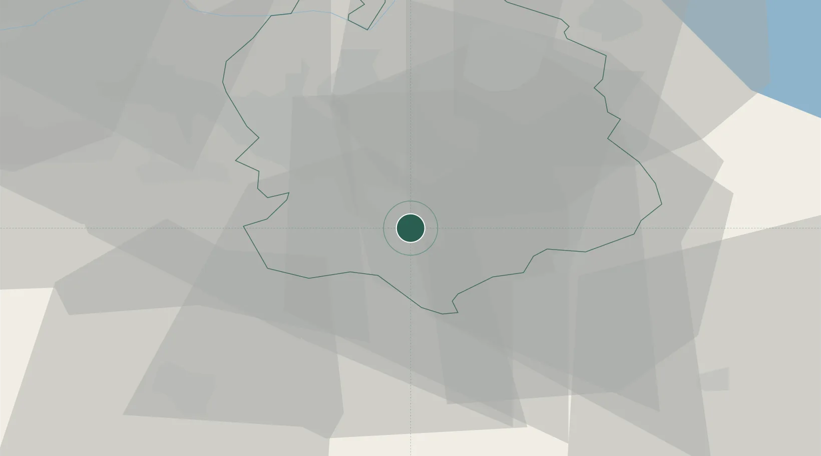
Zurich
Population
5,025
Time zone
Europe/Zurich
Elevation
519 m
Location
Nearby Logistics Neighbours
Cities
- 1Feldmeilen0 km
- 2Meilen1 km
- 3Erlenbach2 km
- 4Uetikon am See4 km
- 5Küsnacht5 km
Ports
- 1Genova322 km
- 2Savona330 km
- 3Chiavari - Lavagna336 km
- 4Rada Di Vado336 km
- 5Porto Di Lido-Venezia359 km
Airports
- 1Dübendorf Air Base13 km
- 2Zürich Airport20 km
- 3Emmen Air Base32 km
- 4Alpnach Air Base45 km
- 5Sankt Gallen Altenrhein Airport75 km
Trade Zones
- 1ZFU Mulhouse109 km
- 2ZFU Montbéliard140 km
- 3Livigno Free Trade Zone140 km
- 4ZFU Belfort142 km
- 5ZFU Neuhof154 km
DatabookThe Record of Consolidated Knowledge
Switzerland beyond logistics?