Transport Functions
Port
Rail
Road
Multimodal
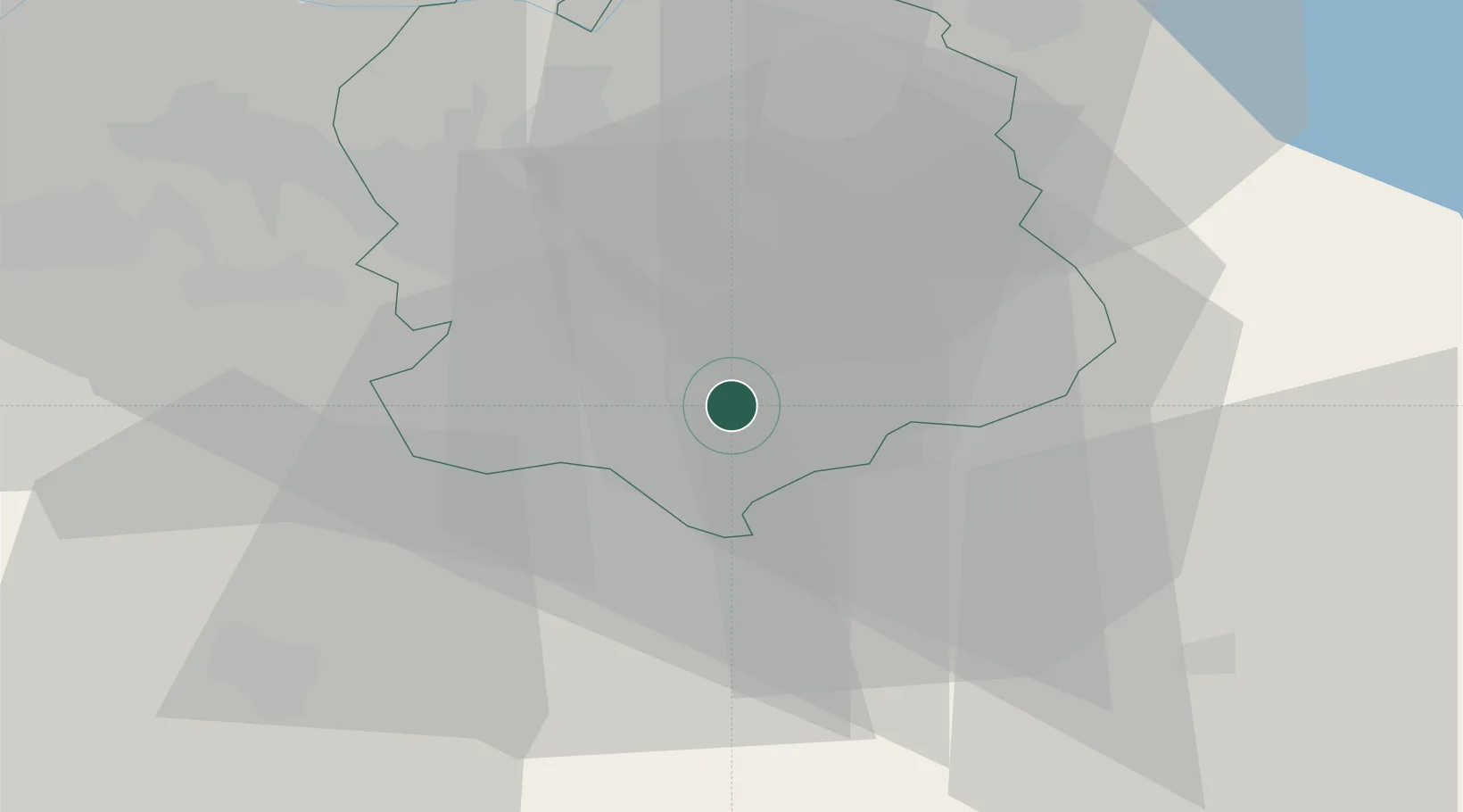
Hub Profile
Region
ZH
Location
Nearby Logistics Neighbours
Cities
- 1Meilen3 km
- 2Wädenswil4 km
- 3Egg4 km
- 4Feldmeilen4 km
- 5Herrliberg4 km
Ports
- 1Genova320 km
- 2Savona328 km
- 3Chiavari - Lavagna333 km
- 4Rada Di Vado334 km
- 5Porto Di Lido-Venezia355 km
Airports
- 1Dübendorf Air Base15 km
- 2Zürich Airport23 km
- 3Emmen Air Base34 km
- 4Alpnach Air Base46 km
- 5Sankt Gallen Altenrhein Airport72 km
Trade Zones
- 1ZFU Mulhouse113 km
- 2Livigno Free Trade Zone136 km
- 3ZFU Montbéliard144 km
- 4ZFU Belfort146 km
- 5ZFU Neuhof157 km
DatabookThe Record of Consolidated Knowledge
Switzerland beyond logistics?