Transport Functions
Rail
Road
Hub Profile
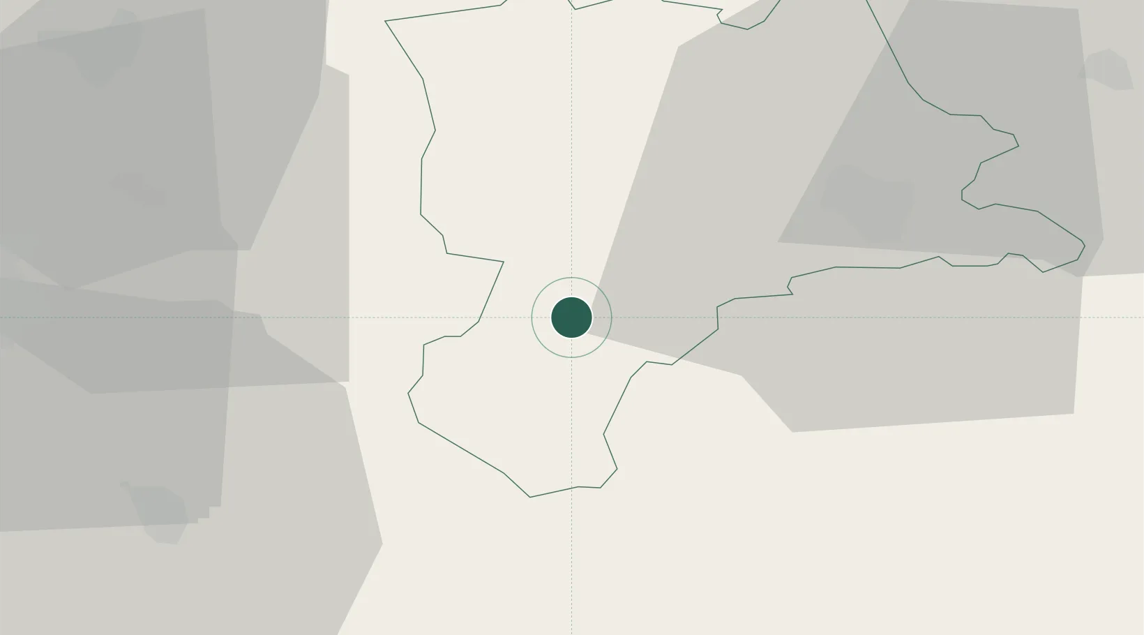
Region
LU
Location
Nearby Logistics Neighbours
Cities
- 1Entlebuch5 km
- 2Escholzmatt7 km
- 3Wolhusen12 km
- 4Schachen13 km
- 5Trubschachen13 km
Ports
- 1Genova292 km
- 2Savona295 km
- 3Rada Di Vado301 km
- 4Chiavari - Lavagna311 km
- 5Imperia341 km
Airports
- 1Alpnach Air Base20 km
- 2Emmen Air Base27 km
- 3Bern Airport40 km
- 4Grenchen Airfield52 km
- 5Dübendorf Air Base69 km
Trade Zones
- 1ZFU Mulhouse103 km
- 2ZFU Montbéliard112 km
- 3PESA - Port-Franc et Entrepôts de Lausanne-Chavornay SA114 km
- 4ZFU Belfort120 km
- 5Port Franc Vevey123 km
DatabookThe Record of Consolidated Knowledge
Switzerland beyond logistics?