Transport Functions
Rail
Road
Airport
Hub Profile
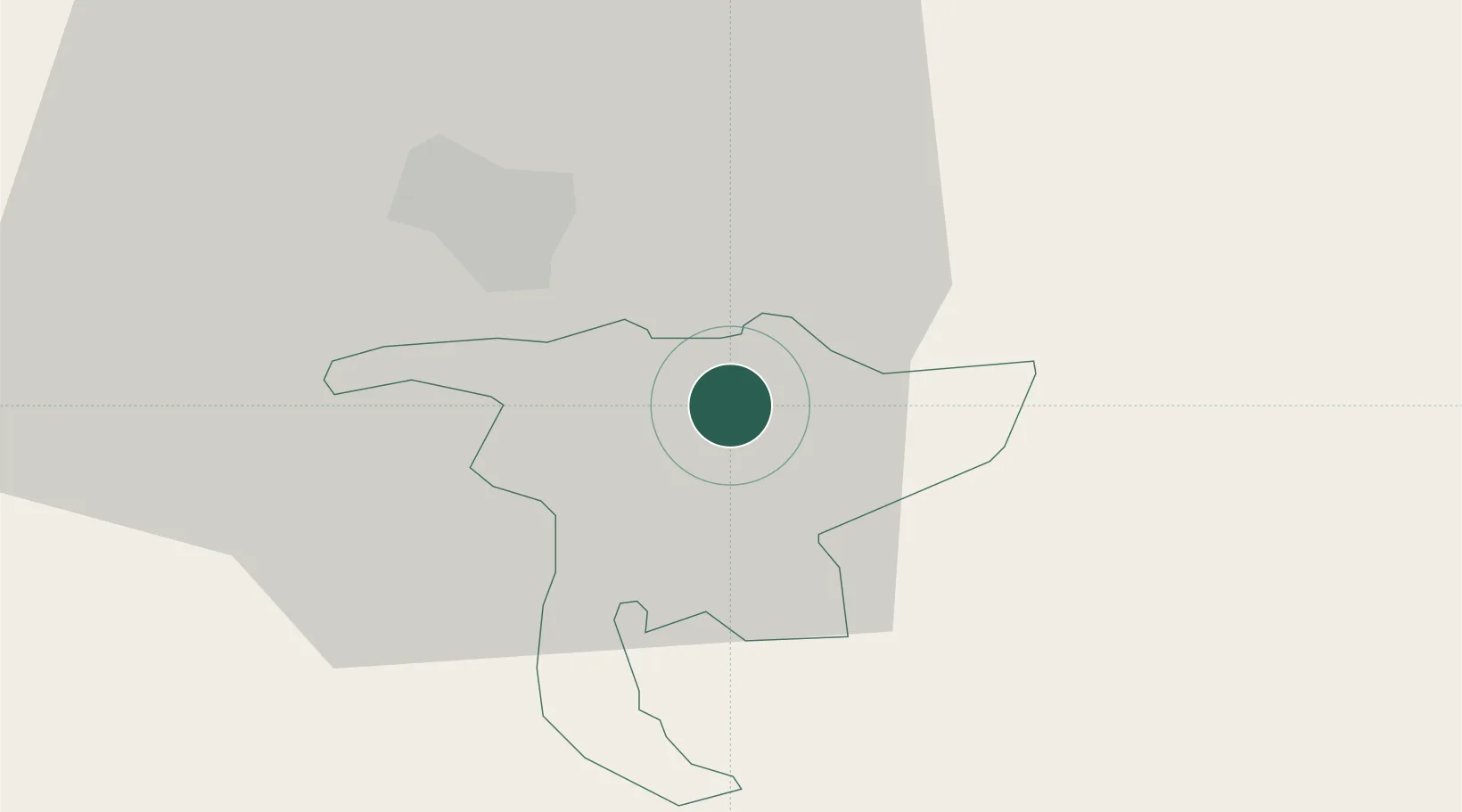
Place type
Populated place
Region
Nidwalden
Population
5,524
Time zone
Europe/Zurich
Elevation
441 m
Location
Nearby Logistics Neighbours
Cities
- 1Stansstad6 km
- 2Vitznau8 km
- 3Mels9 km
- 4Küssnacht am Rigi11 km
- 5Root13 km
Ports
- 1Genova288 km
- 2Savona295 km
- 3Rada Di Vado300 km
- 4Chiavari - Lavagna304 km
- 5La Spezia337 km
Airports
- 1Alpnach Air Base10 km
- 2Emmen Air Base16 km
- 3Dübendorf Air Base51 km
- 4Zürich Airport56 km
- 5Bern Airport70 km
Trade Zones
- 1ZFU Mulhouse119 km
- 2Magazzini Generali Con Chiasso131 km
- 3ZFU Montbéliard137 km
- 4Livigno Free Trade Zone137 km
- 5ZFU Belfort143 km
DatabookThe Record of Consolidated Knowledge
Switzerland beyond logistics?