Transport Functions
Port
Rail
Road
Hub Profile
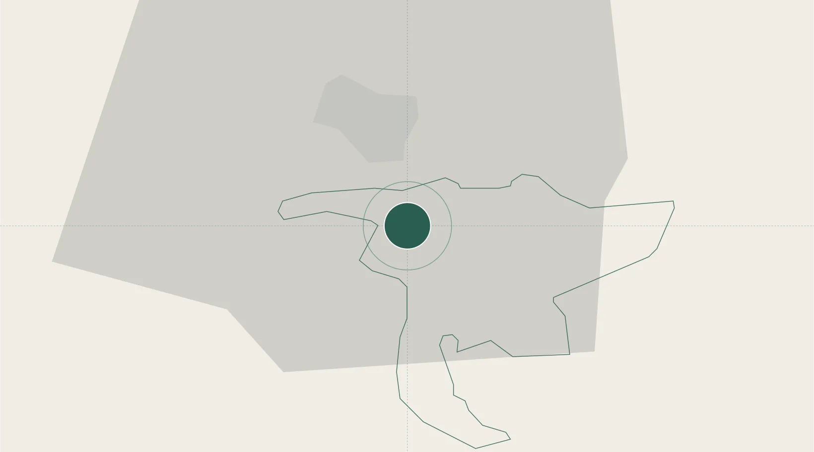
Place type
Populated place
Region
Nidwalden
Population
4,471
Time zone
Europe/Zurich
Elevation
435 m
Location
Nearby Logistics Neighbours
Cities
- 1Buochs6 km
- 2Mels11 km
- 3Vitznau13 km
- 4Emmen13 km
- 5Küssnacht am Rigi14 km
Ports
- 1Genova289 km
- 2Savona295 km
- 3Rada Di Vado301 km
- 4Chiavari - Lavagna306 km
- 5La Spezia340 km
Airports
- 1Alpnach Air Base5 km
- 2Emmen Air Base14 km
- 3Dübendorf Air Base54 km
- 4Zürich Airport57 km
- 5Bern Airport64 km
Trade Zones
- 1ZFU Mulhouse115 km
- 2ZFU Montbéliard131 km
- 3Magazzini Generali Con Chiasso133 km
- 4PESA - Port-Franc et Entrepôts de Lausanne-Chavornay SA138 km
- 5ZFU Belfort138 km
DatabookThe Record of Consolidated Knowledge
Switzerland beyond logistics?