Transport Functions
Rail
Road
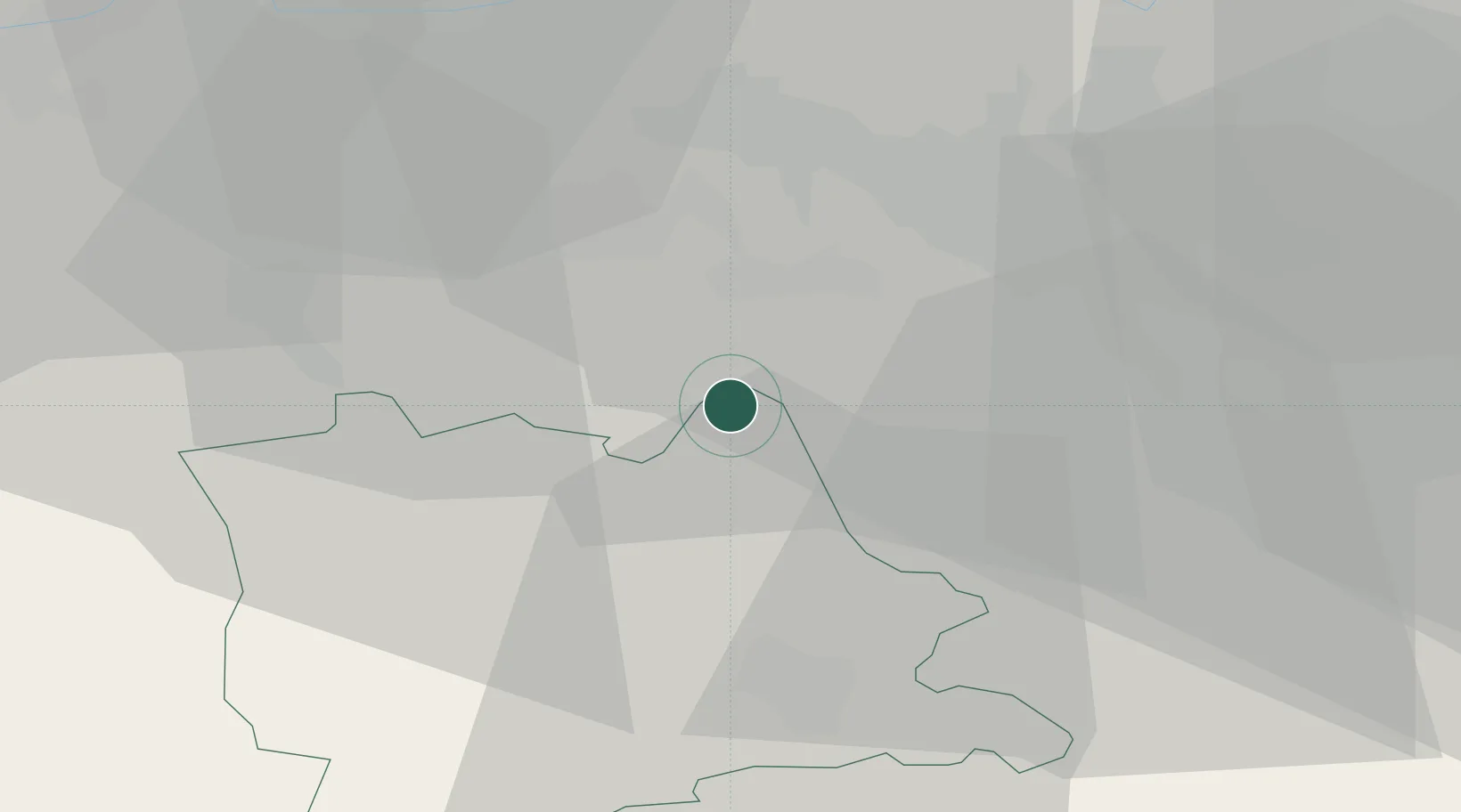
Hub Profile
Place type
Populated place
Region
Lucerne
Population
911
Time zone
Europe/Zurich
Elevation
480 m
Location
Nearby Logistics Neighbours
Cities
- 1Meisterschwanden2 km
- 2Mosen2 km
- 3Hitzkirch4 km
- 4Birrwil4 km
- 5Boswil4 km
Ports
- 1Genova323 km
- 2Savona329 km
- 3Rada Di Vado334 km
- 4Chiavari - Lavagna340 km
- 5La Spezia373 km
Airports
- 1Emmen Air Base20 km
- 2Zürich Airport31 km
- 3Dübendorf Air Base33 km
- 4Alpnach Air Base36 km
- 5Grenchen Airfield64 km
Trade Zones
- 1ZFU Mulhouse87 km
- 2ZFU Montbéliard113 km
- 3ZFU Belfort117 km
- 4PESA - Port-Franc et Entrepôts de Lausanne-Chavornay SA142 km
- 5ZFU Neuhof146 km
DatabookThe Record of Consolidated Knowledge
Switzerland beyond logistics?