Transport Functions
Rail
Road
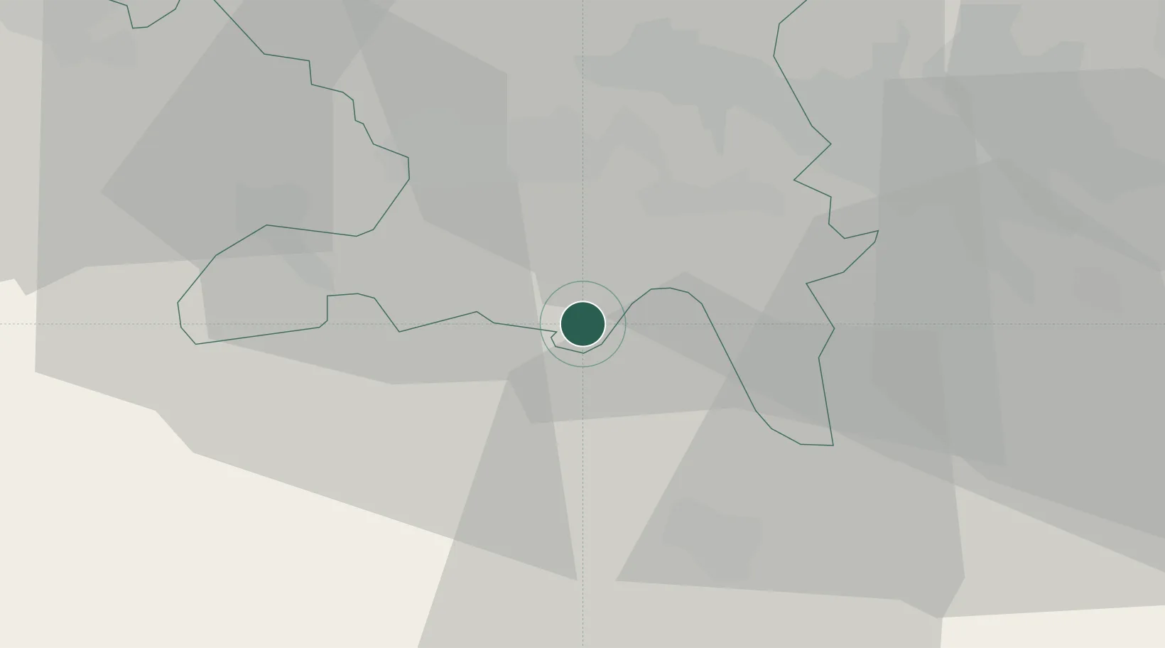
Hub Profile
Place type
Populated place
Region
Aargau
Population
5,415
Time zone
Europe/Zurich
Elevation
549 m
Location
Nearby Logistics Neighbours
Cities
- 1Reinach2 km
- 2Mosen4 km
- 3Birrwil4 km
- 4Meisterschwanden5 km
- 5Aesch5 km
Ports
- 1Genova322 km
- 2Savona327 km
- 3Rada Di Vado333 km
- 4Chiavari - Lavagna339 km
- 5La Spezia373 km
Airports
- 1Emmen Air Base20 km
- 2Alpnach Air Base35 km
- 3Zürich Airport36 km
- 4Dübendorf Air Base39 km
- 5Grenchen Airfield58 km
Trade Zones
- 1ZFU Mulhouse84 km
- 2ZFU Montbéliard109 km
- 3ZFU Belfort113 km
- 4PESA - Port-Franc et Entrepôts de Lausanne-Chavornay SA137 km
- 5ZFU Neuhof147 km
DatabookThe Record of Consolidated Knowledge
Switzerland beyond logistics?