UN/LOCODE hub · Switzerland
CHBZE

Buron

47.2167°, 8.1000°
1
Transport functions

Transport Functions

Multimodal
UN/LOCODE

Hub Profile

Region
LU
GeoNames

Location

Location of CHBZE
Natural Earth 10m (public domain) · LU · CHBZE · 47.22, 8.10GoogleOSMYandex

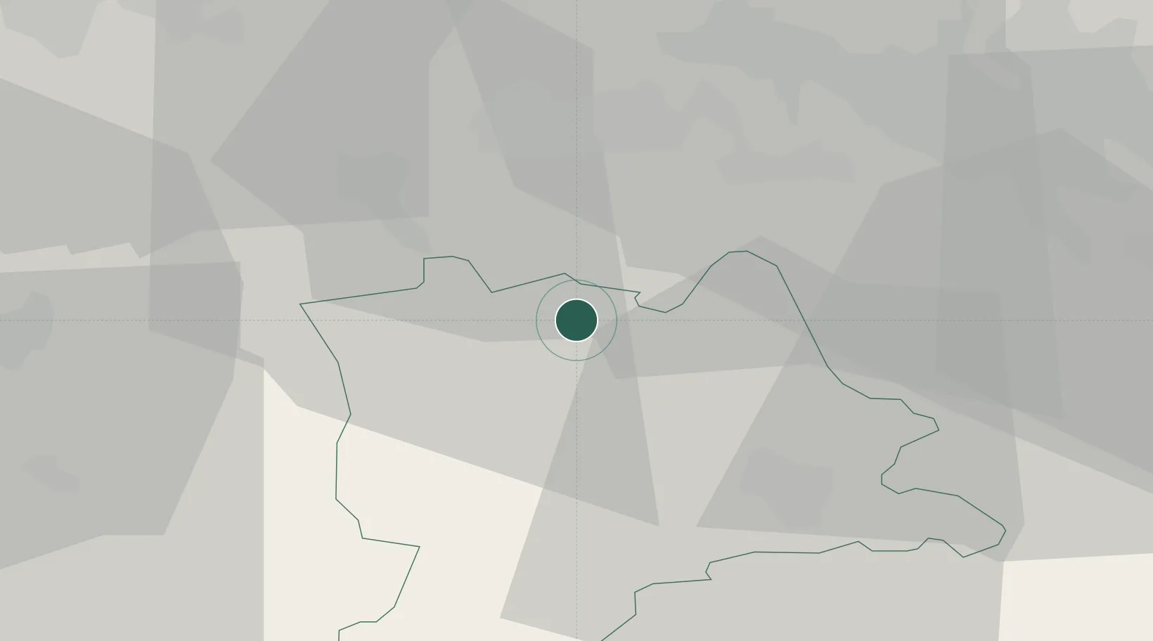
Nearby Logistics Neighbours

Cities
  1. 1Moosleerau6 km
  2. 2Schenkon6 km
  3. 3Menziken7 km
  4. 4Reinach8 km
  5. 5Birrwil11 km
Nearest neighbours — logibook spatial index (haversine) over the source coordinates
Ports
  1. 1Genova320 km
  2. 2Savona324 km
  3. 3Rada Di Vado329 km
  4. 4Chiavari - Lavagna337 km
  5. 5Imperia371 km
Nearest neighbours — logibook spatial index (haversine) over the source coordinates
Airports
  1. 1Emmen Air Base21 km
  2. 2Alpnach Air Base33 km
  3. 3Zürich Airport43 km
  4. 4Dübendorf Air Base46 km
  5. 5Grenchen Airfield52 km
Nearest neighbours — logibook spatial index (haversine) over the source coordinates
Trade Zones
  1. 1ZFU Mulhouse83 km
  2. 2ZFU Montbéliard104 km
  3. 3ZFU Belfort108 km
  4. 4PESA - Port-Franc et Entrepôts de Lausanne-Chavornay SA130 km
  5. 5Port Franc Vevey144 km
Nearest neighbours — logibook spatial index (haversine) over the source coordinates
DatabookThe Record of Consolidated Knowledge
Switzerland beyond logistics?
Browse databook

All Sources

LocationsUN/LOCODE
UN/LOCODE — free
Portsthe NGA World Port Index
Public domain (US gov)
AirportsOurAirports
Public domain
Trade Zonesthe World Bank SEZ database
CC BY 4.0
Trade ZonesOpen Zone Map
CC BY
← Switzerland locations