Transport Functions
Multimodal
Hub Profile
Place type
Urban district
Region
Ontario
Population
27,392
Time zone
America/Toronto
Elevation
121 m
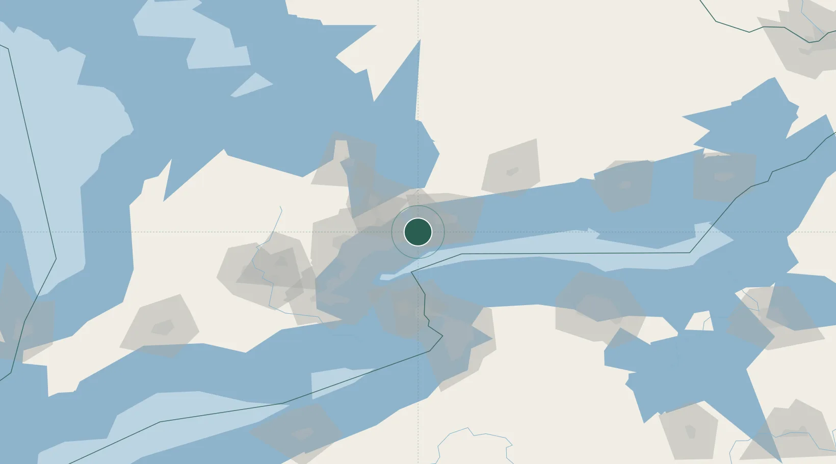
Location
Nearby Logistics Neighbours
Ports
- 1Port Whitby16 km
- 2Oshawa25 km
- 3Toronto30 km
- 4Port Credit47 km
- 5Clarkson51 km
Airports
Trade Zones
- 1FTZ No. 034 Niagara County53 km
- 2Niagara Foreign Trade Zone79 km
- 3FTZ No. 023 Buffalo105 km
- 4FTZ No. 141 Monroe County109 km
- 5FTZ No. 289 Ontario County167 km
DatabookThe Record of Consolidated Knowledge
Canada beyond logistics?