Transport Functions
Rail
Road
Hub Profile
Place type
Populated place
Region
Ontario
Time zone
America/Toronto
Elevation
264 m
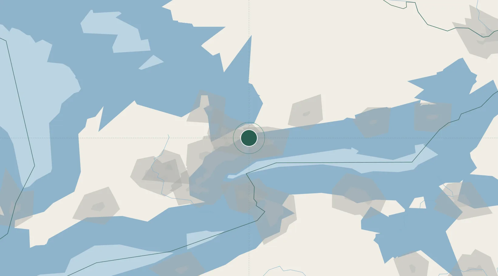
Location
Nearby Logistics Neighbours
Cities
- 1Ashburn14 km
- 2Uxbridge15 km
- 3West Hill19 km
- 4Gormley20 km
- 5Blackstock32 km
Ports
- 1Port Whitby21 km
- 2Oshawa28 km
- 3Toronto44 km
- 4Port Credit59 km
- 5Clarkson64 km
Airports
Trade Zones
- 1FTZ No. 034 Niagara County71 km
- 2Niagara Foreign Trade Zone98 km
- 3FTZ No. 141 Monroe County121 km
- 4FTZ No. 023 Buffalo123 km
- 5FTZ No. 289 Ontario County181 km
DatabookThe Record of Consolidated Knowledge
Canada beyond logistics?