Transport Functions
Road
Multimodal
Hub Profile
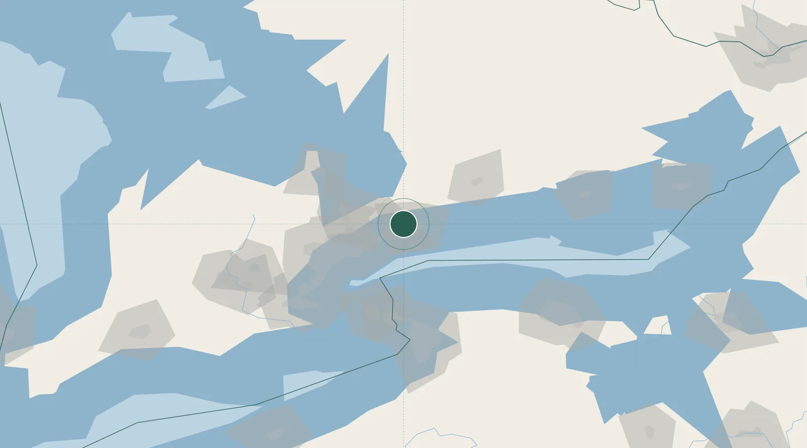
Region
ON
Location
Nearby Logistics Neighbours
Cities
- 1Claremont14 km
- 2West Hill19 km
- 3Uxbridge22 km
- 4Blackstock24 km
- 5Newcastle31 km
Ports
- 1Port Whitby10 km
- 2Oshawa14 km
- 3Toronto49 km
- 4Port Hope55 km
- 5Cobourg64 km
Airports
Trade Zones
- 1FTZ No. 034 Niagara County69 km
- 2Niagara Foreign Trade Zone94 km
- 3FTZ No. 141 Monroe County108 km
- 4FTZ No. 023 Buffalo118 km
- 5FTZ No. 289 Ontario County169 km
DatabookThe Record of Consolidated Knowledge
Canada beyond logistics?