Transport Functions
Rail
Road
Hub Profile
Place type
Populated place
Region
Ontario
Time zone
America/Toronto
Elevation
256 m
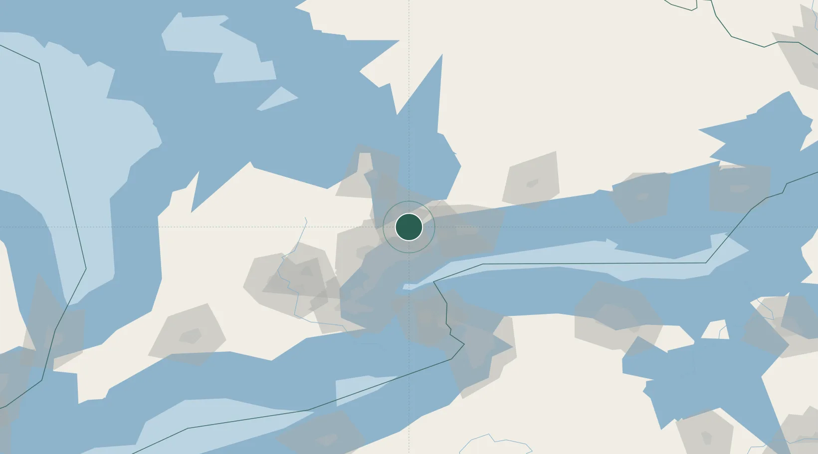
Location
Nearby Logistics Neighbours
Ports
- 1Toronto35 km
- 2Port Whitby37 km
- 3Port Credit46 km
- 4Oshawa46 km
- 5Clarkson51 km
Airports
Trade Zones
- 1FTZ No. 034 Niagara County71 km
- 2Niagara Foreign Trade Zone97 km
- 3FTZ No. 023 Buffalo125 km
- 4FTZ No. 141 Monroe County135 km
- 5FTZ No. 289 Ontario County193 km
DatabookThe Record of Consolidated Knowledge
Canada beyond logistics?