Transport Functions
Rail
Road
Hub Profile
Place type
Populated place
Region
Ontario
Population
2,030
Time zone
America/Toronto
Elevation
125 m
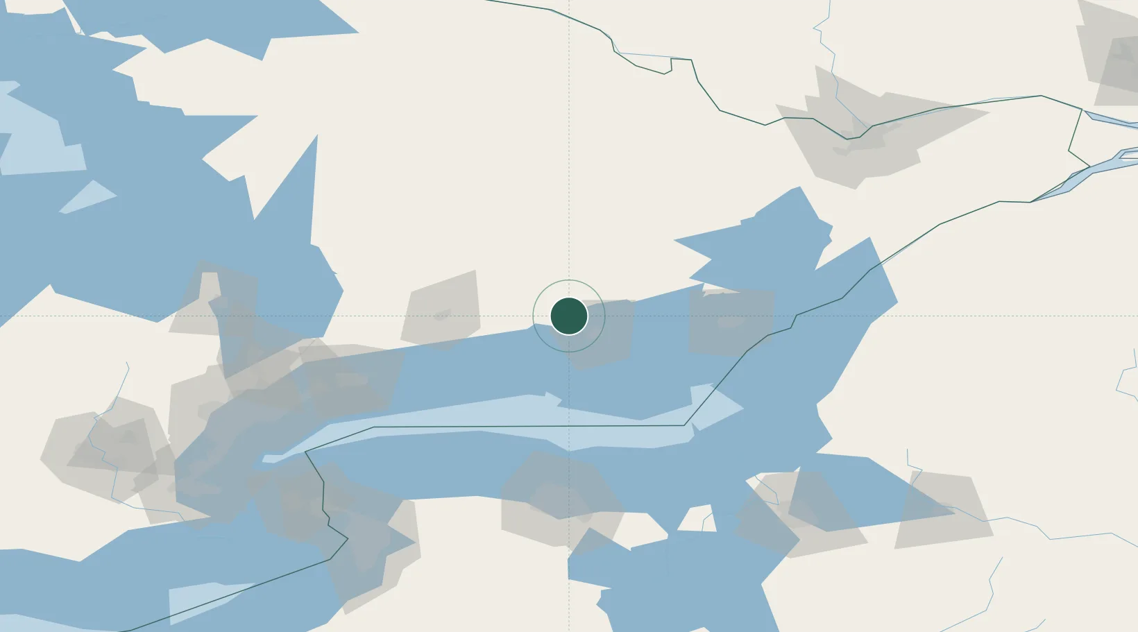
Location
Nearby Logistics Neighbours
Cities
- 1Foxboro11 km
- 2Frankford11 km
- 3Campbellford19 km
- 4Havelock30 km
- 5Roblin43 km
Ports
- 1Belleville21 km
- 2Trenton22 km
- 3Picton46 km
- 4Cobourg63 km
- 5Millhaven66 km
Airports
- 1CFB Trenton20 km
- 2Peterborough Regional Airport65 km
- 3Kingston Norman Rogers Airport76 km
- 4Oshawa Executive Airport115 km
- 5Watertown International Airport127 km
Trade Zones
- 1FTZ No. 141 Monroe County118 km
- 2FTZ No. 090 Onondaga124 km
- 3FTZ No. 109 Watertown137 km
- 4FTZ No. 034 Niagara County166 km
- 5FTZ No. 289 Ontario County166 km
DatabookThe Record of Consolidated Knowledge
Canada beyond logistics?