UN/LOCODE hub · Canada
CASFD

Saint-Frédéric

46.8333°, -71.2500°
2
Transport functions

Transport Functions

Road
Multimodal
UN/LOCODE

Hub Profile

Region
QC
GeoNames

Location

Location of CASFD
Natural Earth 10m (public domain) · QC · CASFD · 46.83, -71.25GoogleOSMYandex

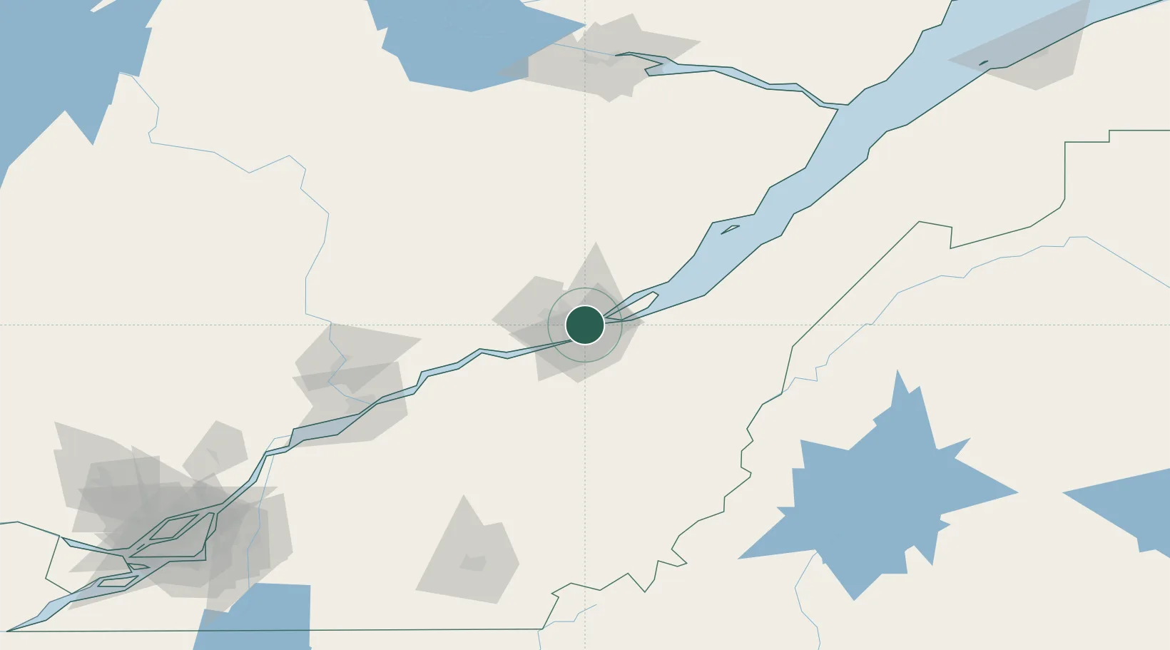
Nearby Logistics Neighbours

Cities
  1. 1Vanier2 km
  2. 2Lévis7 km
  3. 3Saint-Romuald-d'Etchemin9 km
  4. 4Saint-Jean-Chrysostome14 km
  5. 5Courcelette17 km
Nearest neighbours — logibook spatial index (haversine) over the source coordinates
Ports
  1. 1Quebec3 km
  2. 2Port De Becancour99 km
  3. 3Trois Rivieres113 km
  4. 4Sorel168 km
  5. 5La Baie (Port Alfred)169 km
Nearest neighbours — logibook spatial index (haversine) over the source coordinates
Airports
  1. 1Quebec Jean Lesage International Airport12 km
  2. 2Saint-Georges Airport92 km
  3. 3Charlevoix Airport115 km
  4. 4Trois-Rivières Airport122 km
  5. 5Sherbrooke Airport159 km
Nearest neighbours — logibook spatial index (haversine) over the source coordinates
Trade Zones
  1. 1Québec City FTZ1 km
  2. 2FTZ No. 179 Madawaska226 km
  3. 3Greater Montreal Free Zone Center231 km
  4. 4FTZ No. 186 Waterville282 km
  5. 5FTZ No. 058 Bangor294 km
Nearest neighbours — logibook spatial index (haversine) over the source coordinates
DatabookThe Record of Consolidated Knowledge
Canada beyond logistics?
Browse databook

All Sources

LocationsUN/LOCODE
UN/LOCODE — free
Portsthe NGA World Port Index
Public domain (US gov)
AirportsOurAirports
Public domain
Trade Zonesthe World Bank SEZ database
CC BY 4.0
Trade ZonesOpen Zone Map
CC BY
← Canada locations