Transport Functions
Port
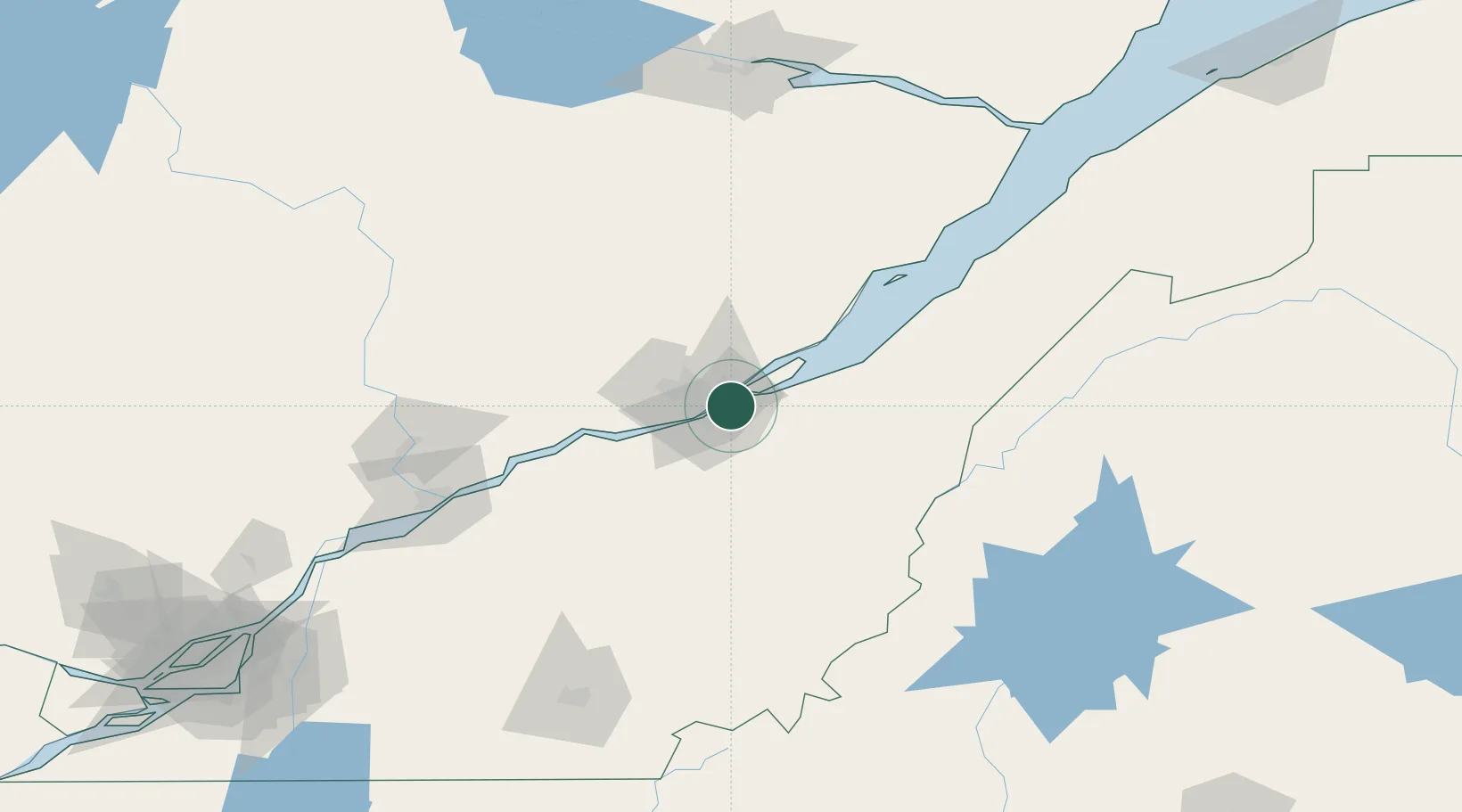
Hub Profile
Place type
Populated place
Region
Quebec
Population
143,414
Time zone
America/Toronto
Elevation
87 m
Location
Nearby Logistics Neighbours
Cities
- 1Saint-Frédéric7 km
- 2Saint-Romuald-d'Etchemin8 km
- 3Vanier8 km
- 4Saint-Jean-Chrysostome9 km
- 5Château-Richer22 km
Ports
- 1Quebec4 km
- 2Port De Becancour103 km
- 3Trois Rivieres117 km
- 4Riviere Du Loup169 km
- 5Sorel171 km
Airports
- 1Quebec Jean Lesage International Airport17 km
- 2Saint-Georges Airport86 km
- 3Charlevoix Airport114 km
- 4Trois-Rivières Airport126 km
- 5Sherbrooke Airport157 km
Trade Zones
- 1Québec City FTZ7 km
- 2FTZ No. 179 Madawaska221 km
- 3Greater Montreal Free Zone Center234 km
- 4FTZ No. 186 Waterville276 km
- 5FTZ No. 058 Bangor287 km
DatabookThe Record of Consolidated Knowledge
Canada beyond logistics?