UN/LOCODE hub · Canada
CASRO

Saint-Romuald-d'Etchemin

46.7500°, -71.2333°
2
Transport functions

Transport Functions

Port
Road
UN/LOCODE

Hub Profile

Region
QC
GeoNames

Location

Location of CASRO
Natural Earth 10m (public domain) · QC · CASRO · 46.75, -71.23GoogleOSMYandex

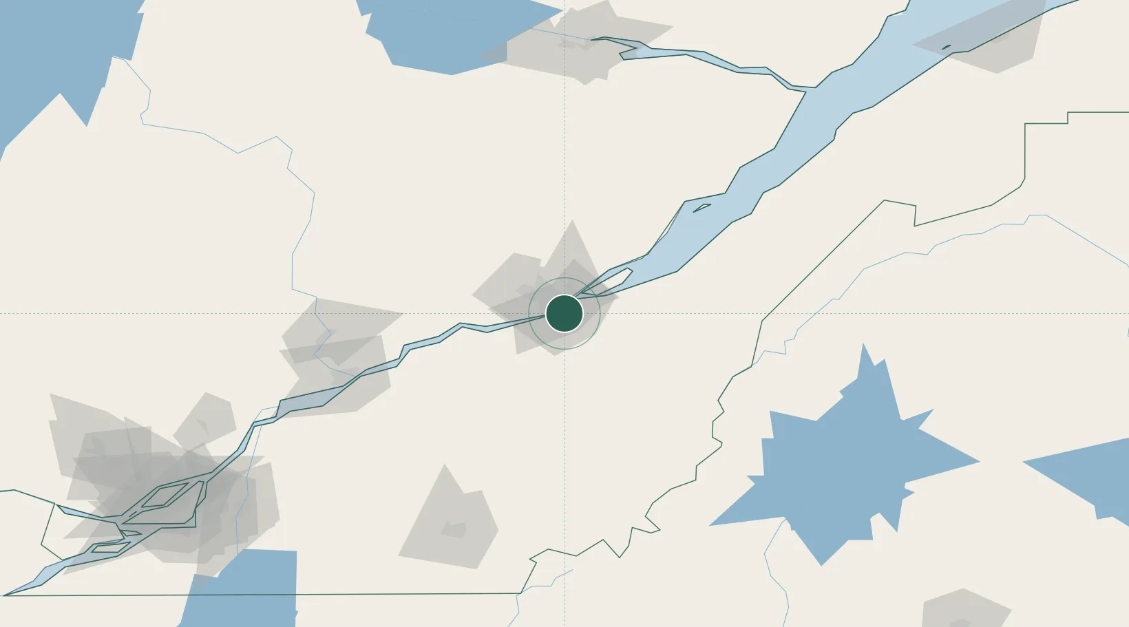
Nearby Logistics Neighbours

Cities
  1. 1Saint-Jean-Chrysostome5 km
  2. 2Lévis8 km
  3. 3Vanier8 km
  4. 4Saint-Frédéric9 km
  5. 5Courcelette23 km
Nearest neighbours — logibook spatial index (haversine) over the source coordinates
Ports
  1. 1Quebec8 km
  2. 2Port De Becancour96 km
  3. 3Trois Rivieres110 km
  4. 4Sorel164 km
  5. 5Riviere Du Loup177 km
Nearest neighbours — logibook spatial index (haversine) over the source coordinates
Airports
  1. 1Quebec Jean Lesage International Airport13 km
  2. 2Saint-Georges Airport83 km
  3. 3Trois-Rivières Airport119 km
  4. 4Charlevoix Airport121 km
  5. 5Sherbrooke Airport150 km
Nearest neighbours — logibook spatial index (haversine) over the source coordinates
Trade Zones
  1. 1Québec City FTZ9 km
  2. 2Greater Montreal Free Zone Center226 km
  3. 3FTZ No. 179 Madawaska227 km
  4. 4FTZ No. 186 Waterville273 km
  5. 5FTZ No. 058 Bangor286 km
Nearest neighbours — logibook spatial index (haversine) over the source coordinates
DatabookThe Record of Consolidated Knowledge
Canada beyond logistics?
Browse databook

All Sources

LocationsUN/LOCODE
UN/LOCODE — free
Portsthe NGA World Port Index
Public domain (US gov)
AirportsOurAirports
Public domain
Trade Zonesthe World Bank SEZ database
CC BY 4.0
Trade ZonesOpen Zone Map
CC BY
← Canada locations