Transport Functions
Port
Multimodal
Hub Profile
Region
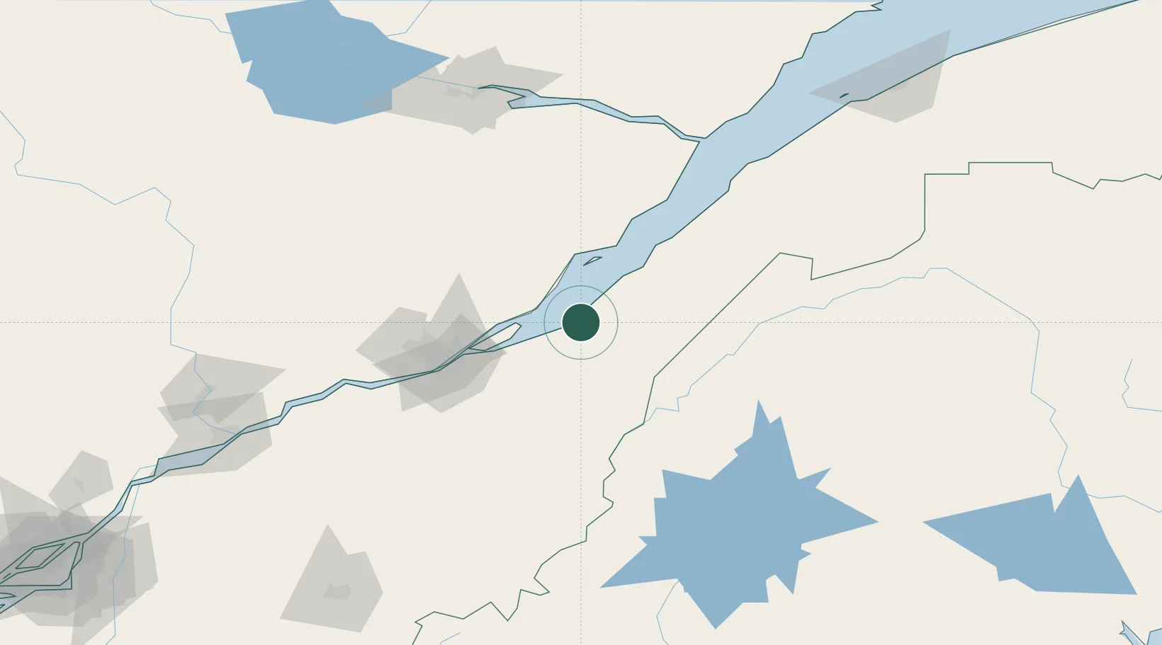
QC
Location
Nearby Logistics Neighbours
Cities
- 1L'Islet11 km
- 2Grosse Isle16 km
- 3Sainte-Famille40 km
- 4Château-Richer44 km
- 5Lévis60 km
Ports
- 1Quebec63 km
- 2Riviere Du Loup113 km
- 3La Baie (Port Alfred)148 km
- 4Chicoutimi (Port Saguenay)162 km
- 5Port De Becancour163 km
Airports
- 1Charlevoix Airport65 km
- 2Quebec Jean Lesage International Airport77 km
- 3Rivière-du-Loup Airport104 km
- 4Saint-Georges Airport106 km
- 5Saguenay-Bagotville Airport150 km
Trade Zones
- 1Québec City FTZ65 km
- 2FTZ No. 179 Madawaska162 km
- 3FTZ No. 058 Bangor278 km
- 4FTZ No. 186 Waterville283 km
- 5Greater Montreal Free Zone Center293 km
DatabookThe Record of Consolidated Knowledge
Canada beyond logistics?