Transport Functions
Port
Road
Hub Profile
Place type
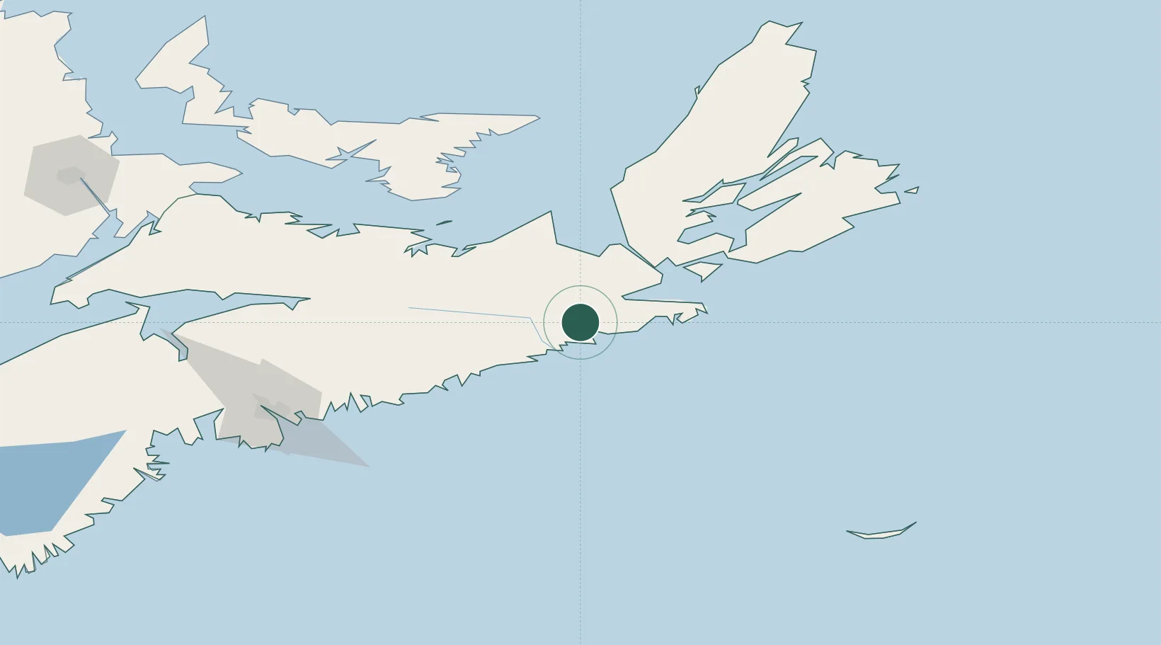
Populated place
Region
Nova Scotia
Time zone
America/Halifax
Elevation
1 m
Location
Nearby Logistics Neighbours
Cities
- 1Point Tupper51 km
- 2Canso59 km
- 3Arichat65 km
- 4Merigomish69 km
- 5Sheet Harbour70 km
Ports
- 1Goldsboro8 km
- 2Port Hawkesbury53 km
- 3Port Hastings55 km
- 4Pictou92 km
- 5Musquodoboit Harbour121 km
Airports
Trade Zones
- 1Cape Breton Regional Municipality Foreign Trade Zone130 km
- 2Halifax Gateway159 km
- 3Saint John339 km
- 4FTZ No. 179 Madawaska557 km
- 5FTZ No. 058 Bangor559 km
DatabookThe Record of Consolidated Knowledge
Canada beyond logistics?