Transport Functions
Port
Rail
Road
Hub Profile
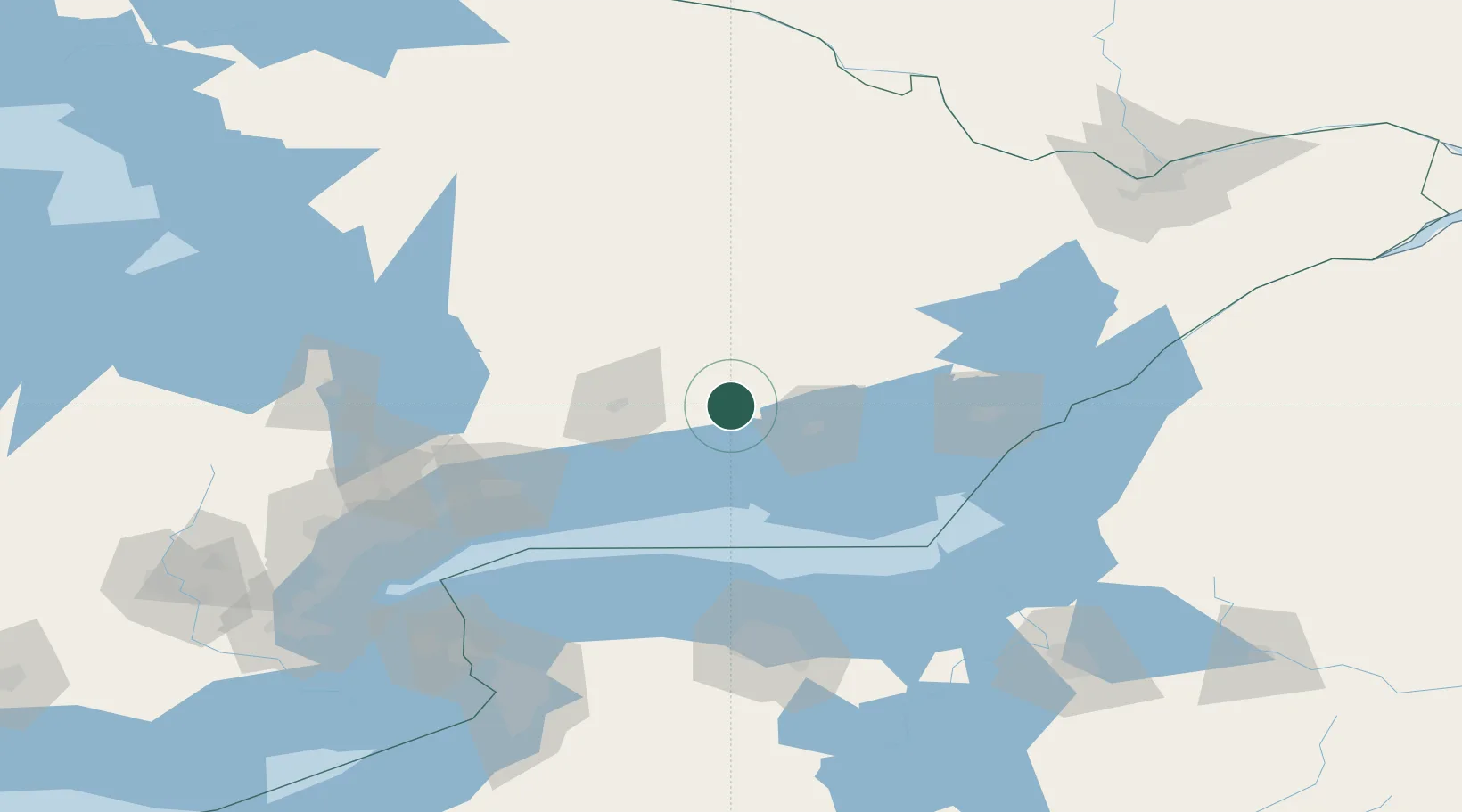
Place type
Populated place
Region
Ontario
Population
3,372
Time zone
America/Toronto
Elevation
144 m
Location
Nearby Logistics Neighbours
Ports
- 1Trenton28 km
- 2Belleville35 km
- 3Cobourg50 km
- 4Port Hope57 km
- 5Picton61 km
Airports
Trade Zones
- 1FTZ No. 141 Monroe County114 km
- 2FTZ No. 090 Onondaga137 km
- 3FTZ No. 034 Niagara County152 km
- 4FTZ No. 109 Watertown155 km
- 5FTZ No. 289 Ontario County167 km
DatabookThe Record of Consolidated Knowledge
Canada beyond logistics?